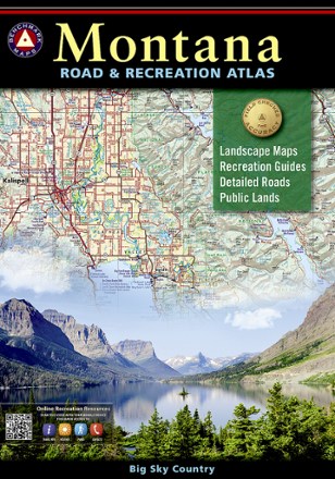

Montana Road & Recreation Atlas - 5th Edition
Tech Specs
BrandBenchmark Maps
Best UseTravel
State / ProvinceMontana
Folded Dimensions15 x 11 x 1 inches
Map Scale1:250,000 & 1:800,000
Double SidedYes
PublisherBenchmark Maps
Copyright Year2021
Description
Take the scenic route through the rugged peaks, majestic rivers and expansive plains of Big Sky Country with the 5th edition of Benchmark Maps Montana Road & Recreation Atlas.
Features
- Atlas pages feature generous page-to-page map overlaps and detailed scales; extensive road detail is field-checked for accuracy
- Large-scale Landscape Maps™ reveal landforms with amazing realism and detail, clearly showing the state's vast network of roads, waterways and recreation landmarks
- This edition includes new base maps with vegetated land cover and new state/BLM map detail and boundaries for U.S. Forest Service private inholdings
- Included 30-page Recreation Guide provides insightful planning information, lists a wide range of outdoor activities and is arranged by category
- Recreation Guide includes regional maps with public land ownership, hunting units and point-to-point mileages
- Categories include National Parks & Monuments; State Parks & Rec Areas; Historic Sites & Museums; Camping, Cabins & RV Parks; Fishing/Boating Access; Hunting Regions & Units