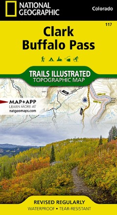
Clark / Buffalo Pass Topographic Map
National GeographicCreated in cooperation with the U.S. Forest Service and other land agencies, the Trails Illustrated Clark / Buffalo Pass topographic map delivers detailed coverage of this region of northern Colorado.
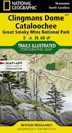
Clingmans Dome / Cataloochee Topographic Map
National GeographicThe Trails Illustrated Clingmans Dome / Cataloochee topographic map covers the eastern part of Great Smoky Mountains National park, from Sugarlands to Pisgah National Forest.
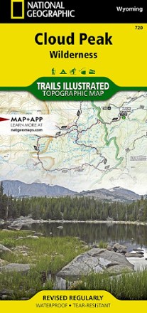
Cloud Peak Wilderness Map
National GeographicDiscover the wildest section of the Bighorn Mountains with this Cloud Peak Wilderness map from National Geographic Trails Illustrated. It offers vivid detail and a waterproof, rugged construction.

Collegiate Peaks Wilderness Area Topographic Map
National GeographicThe Trails Illustrated Collegiate Peaks Wilderness Area topographic map delivers incredible detail and valuable information to assist you in your exploration of this breathtaking wilderness.
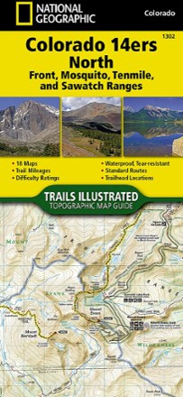
Colorado 14ers North Topographic Map Guide
National GeographicA perfect peakbagger's companion, the Trails Illustrated Colorado 14ers North topographic map guide booklet features details for 14ers of the Front, Mosquito, Tenmile and Sawatch ranges.
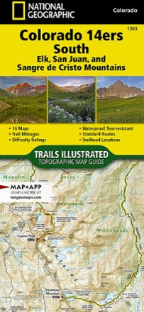
Colorado 14ers South Topographic Map Guide
National GeographicWith details for the 14ers of the Elk, San Juan and Sangre de Cristo ranges, the Trails Illustrated Colorado 14ers South topographic map guide booklet is the perfect peakbagger's companion.
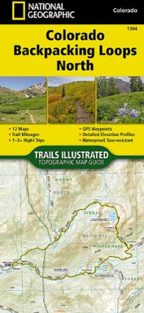
Colorado Backpacking Loops North Topographic Map Guide
National GeographicThe Trails Illustrated Colorado Backpacking Loops North topographic map guide covers a dozen loops throughout northern Colorado, selected for their diversity, remoteness and inspiring vistas.
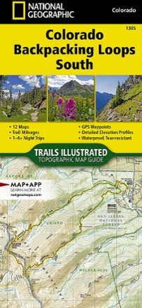
Colorado Backpacking Loops South Topographic Map Guide
National GeographicThe Trails Illustrated Colorado Backpacking Loops South topographic map guide covers a dozen loops throughout southern Colorado, selected for their diversity, remoteness and inspiring vistas.
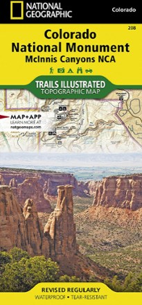
Colorado National Monument Topographic Map
National GeographicThe Trails Illustrated Colorado National Monument topographic map details the recreation areas throughout Colorado's Grand Valley that surrounds the towns of Grand Junction, Fruita, Palisade and Loma.
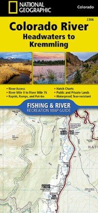
Colorado River Fishing & River Recreation Map Guide: Headwaters to Kremmling
National GeographicA perfect companion for recreation on the Colorado River from its headwaters to Kremmling, this Fishing & River Recreation Map Guide is packed with details and maps for planning your adventures.
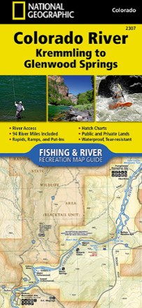
Colorado River Fishing & River Recreation Map Guide: Kremmling to Glenwood Springs
National GeographicA perfect companion for recreation from Kremmling to Glenwood Springs, the Colorado River Fishing & River Recreation Map Guide is packed with details and maps to help plan and guide your adventures.
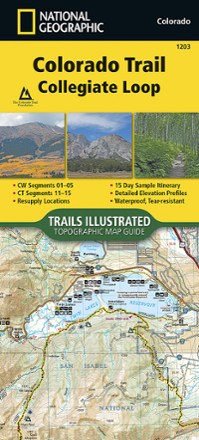
Colorado Trail Collegiate Loop Topographic Map Guide
National GeographicDesigned for navigating the 163-mile Collegiate Loop, the National Geographic Colorado Trail Collegiate Loop topographic map guide has the info you need, whether you're backpacking or on a day hike.

Colorado Trail North: Monarch to Denver Topographic Map Guide
National GeographicWith detailed maps and the info you need to plan your outing and stay on route, the National Geographic Colorado Trail North: Monarch to Denver topographic map will help you explore with confidence.

Colorado Trail South: Durango to Monarch Topographic Map Guide
National GeographicThe National Geographic Colorado Trail South: Durango to Monarch topographic map guide is the perfect traveling companion when navigating the southern section of The Colorado Trail.