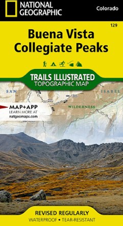
Buena Vista/Collegiate Peaks Trail Map
National GeographicThis National Geographic Trails Illustrated folded map offers comprehensive coverage of Colorado's Buena Vista and Collegiate Peaks.
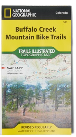
Buffalo Creek Mountain Bike Trails Topographic Map
National GeographicNo matter your skill—novice or rock-hopping daredevil—the Buffalo Creek Mountain Bike Trails topographic map is a detailed resource with ratings, clearly marked track and miles of rides for everyone.

Buffalo National River East Map
National GeographicExplore the eastern side—including the middle and lower sections—of the wild Buffalo River in Arkansas with the Trails Illustrated Buffalo National River East map from National Geographic.

Buffalo National River West
National GeographicExplore the western side—including the upper section—of the wild Buffalo River in Arkansas with the Trails Illustrated Buffalo National River West map from National Geographic.

Cache La Poudre / Big Thompson Topographic Map
National GeographicOutdoor enthusiasts looking for opportunities just east of Rocky Mountain National Park will find the Trails Illustrated Cache La Poudre / Big Thompson topographic map an essential travel companion.
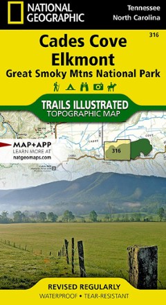
Cades Cove / Elkmont Topographic Map
National GeographicThe Trails Illustrated Cades Cove / Elkmont topographic map covers the western part of Great Smoky Mtns. National Park, from Sugarlands to Chilhowee Mountain and Lake.

California Desert National Parks Map Pack
National GeographicCombining 3 detailed maps and info, the Trails Illustrated California Desert National Parks map pack is perfect for your next trip to the national parks in the Mojave Desert region of California.
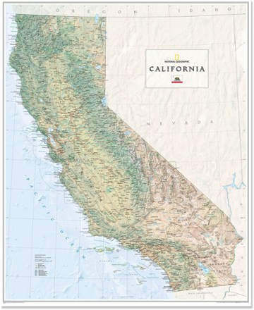
California Wall Map - Tubed
National GeographicThe National Geographic California wall map offers a colorful visualization of the Golden State's physical geography, forests and deserts. Stunning shaded relief depicts mountains and ocean depths.
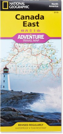
Canada East Adventure Travel Map
National GeographicExplore the beauty and history of Ontario, Quebec and the Maritime provinces with the National Geographic Canada East Adventure Travel map.

Canada West Adventure Travel Map
National GeographicThe National Geographic Canada West Adventure Travel map lets you plan your trip and explore the majestic wonders of Alberta, British Columbia, the Yukon and Northwest Territories.
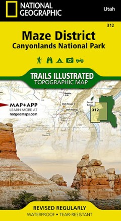
Canyonlands National Park - Maze District Trail Map
National GeographicThis National Geographic Trails Illustrated folded map offers comprehensive coverage of the Maze district in Utah's Canyonlands National Park.
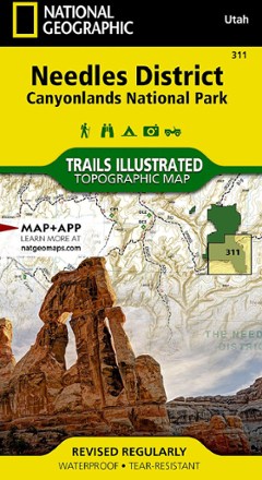
Canyonlands National Park - Needles District Trail Map
National GeographicThis National Geographic Trails Illustrated folded map offers comprehensive coverage of the Needles district in Utah's Canyonlands National Park.
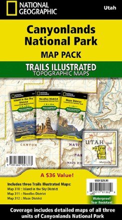
Canyonlands National Park Topographic Map Pack
National GeographicWhether you're planning a road trip or a backpacking excursion, the National Geographic Canyonlands National Park topographic map pack will help you plan your outing to Canyonlands' 3 districts.
Canyonlands National Park Trail Map - Needles/Isle
National GeographicThis National Geographic Trails Illustrated folded map offers comprehensive coverage of the Needles/Isle areas of Canyonlands National Park in Utah.