Shaver Lake: Sierra National Forest Topographic Map
National GeographicThe Trails Illustrated Shaver Lake: Sierra National Forest Topographic Map will help you navigate off the beaten path and back again, all around this very popular area of the Sierras in California.

Shawangunk Mountains Map
National GeographicA comprehensive guide to recreational opportunities, the National Geographic Shawangunk Mountains map was created in cooperation with land management agencies and preservation organizations.
Shenandoah National Park Day Hikes Topographic Map Guide
National GeographicDesigned for all levels of hiking enthusiasts, the National Geographic Shenandoah National Park Day Hikes topographic map journeys on 16 diverse hikes ranging from easy to strenuous.
Shenandoah National Park Map
National GeographicThe Trails Illustrated Shenandoah National Park map offers clear, detailed coverage of the natural escape that's just 75 miles from the hustle and bustle of Washington, D.C.
North America MapsNew England and Mid Atlantic Maps - DEPRECATED
South Platte River Fishing & River Recreation Map Guide: Elevenmile Canyon Reservoir to Chatfield Reservoir
National GeographicA perfect companion for river recreation, the National Geographic South Platte River Fishing & River Map Guide is packed with details and maps to help plan and guide your adventures.
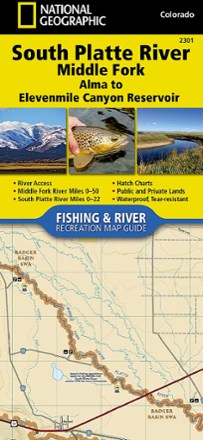
South Platte River Middle Fork Fishing & River Recreation Map Guide
National GeographicA perfect companion for river recreation, the National Geographic South Platte River Middle Fork Fishing & River Map Guide is packed with details and maps to help plan and guide your adventures.
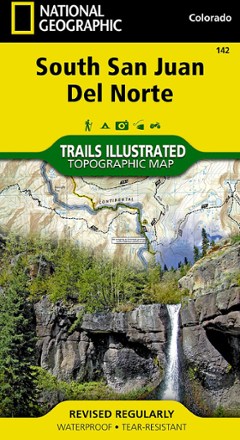
South San Juan / Del Norte Topographic Map
National GeographicTrails Illustrated South San Juan / Del Norte topographic map was expertly researched in partnership with the U.S. Forest Service and Bureau of Land Management to offer accurate, detailed trail info.

Spain and Portugal Map
National GeographicThe National Geographic Spain and Portugal Adventure Map is designed to meet your travel needs. With its detailed information by your side, you can feel confident on your international travels.

Springer and Cohutta Mountains Topographic Map
National GeographicThe detailed Trails Illustrated Springer and Cohutta Mountains topographic map leads you to an abundance of recreational opportunities in the Chattahoochee National Forest, just north of Atlanta.
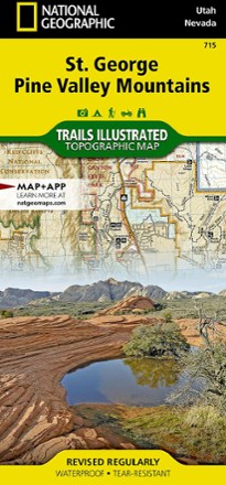
St. George Pine Valley Mountains Topographic Map
National GeographicNo matter how you like to spend your weekend, you can use the highly detailed maps of the National Geographic St. George Pine Valley Mountains topographic map to plan your outing.

State Bridge/Burns Trail Map
National GeographicThis Trails Illustrated folded map offers colorful, comprehensive coverage for outdoor exploration in Colorado's State Bridge and Burns area.

Staunton / Shenandoah Mtn Topographic Map
National GeographicLet the Trails Illustrated Staunton / Shenandoah Mtn topographic map guide you on your exploration of this picturesque area of Virginia and West Virginia.
North America MapsNew England and Mid Atlantic Maps - DEPRECATED
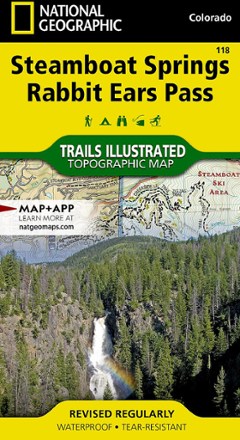
Steamboat Springs/Rabbit Ears Pass Trail Map
National GeographicThis National Geographic Trails Illustrated folded map offers comprehensive coverage of Steamboat Springs/Rabbit Ears Pass in Colorado.
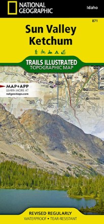
Sun Valley, Ketchum Topographic Map
National GeographicExplore central Idaho's world-renowned ski resort, Sun Valley, nearby Ketchum and the surrounding Sawtooth National Forest with this Trails Illustrated Sun Valley, Ketchum topographic trail map.