Longs Peak Trail Map
National GeographicThis National Geographic Trails Illustrated folded map offers comprehensive coverage of Longs Peak, Bear Lake and Wild Basin in Colorado.
Los Padres National Forest East Trail Map
National GeographicThe National Geographic Los Padres National Forest East trail map leads you through amazing recreation opportunities in one of California's most diverse forests.

Los Padres National Forest West Map
National GeographicThe Trails Illustrated Los Padres National Forest West map guides you through diverse ecosystems and scenic wildlife habitats, from wild seacoasts to forests, grasslands and semi-desert areas.
Mammoth Cave National Park Map
National GeographicExpertly researched and created with local land management agencies, this National Geographic Mammoth Cave National Park map provides detailed, accurate information to assist your exploration.
Mammoth Lakes and Mono Divide Trail Map
National GeographicThis detailed Trails Illustrated folded map offers colorful, comprehensive coverage of Mammoth Lakes and Mono Divide in California.

Manistee North Topographic Map
National GeographicThe Trails Illustrated Manistee North topographic map combines unmatched detail with helpful information to offer an invaluable tool for making the most of your visit to this scenic region.

Manistee South Topographic Map
National GeographicExplore the many recreational opportunities available year-round in Michigan's northern lower peninsula with the Trails Illustrated Manistee South topographic map.
Manti La Sal National Forest Trail Map
National GeographicThis National Geographic Trails Illustrated folded map offers comprehensive coverage of Utah's Manti La Sal National Forest area.
Many Glacier: Glacier and Waterton Lakes National Parks Topographic Map
National GeographicThe Trails Illustrated Many Glacier: Glacier and Waterton Lakes National Parks topographic map offers unparalleled detail for exploring the pristine landscapes within these 2 spectacular parks.
Marco Island and Ten Thousand Islands Coastal Recreation Map
National GeographicLet the National Geographic Marco Island and Ten Thousand Islands Coastal Recreation Map guide you, both on land and on water, in this popular recreation area just outside of Everglades National Park.
Maroon Bells/Redstone/Marble Trail Map
National GeographicThis informative Trails Illustrated map will help you plan trips and explore the area in and around Colorado's Maroon Bells, Redstone and Marble.
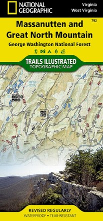
Massanutten and Great North Mountain Trail Map
National GeographicThis National Geographic Trails Illustrated folded map offers comprehensive coverage of he Massanutten and Great North Mountain area of Virginia.
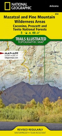
Mazatzal and Pine Mountain Wilderness Areas Topographic Map
National GeographicOutdoor enthusiasts looking for recreational opportunities just north of Phoenix will marvel at the Trails Illustrated Mazatzal and Pine Mountain Wilderness Areas topographic map.

Merced & Tuolumne Rivers Topographic Map
National GeographicThe Trails Illustrated Merced & Tuolumne Rivers topographic map is an essential travel companion for outdoor enthusiasts exploring this area just west of Yosemite National Park.