
Grand Canyon National Park Topographic Map Pack
National GeographicThe Trails Illustrated Grand Canyon National Park topographic map pack guides you through this natural wonder, from sightseeing to overnight camping to backcountry itineraries and river float trips.
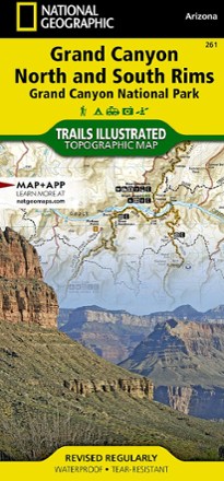
Grand Canyon National Park Trail Map - Bright Angel Canyon/North and South Rims
National GeographicThis Trails Illustrated Grand Canyon National Park trail map offers comprehensive coverage of Bright Angel Canyon and the North and South rims.
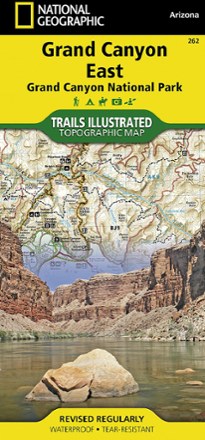
Grand Canyon National Park Trail Map - East
National GeographicThis Trails Illustrated folded map offers comprehensive coverage of the eastern section of Grand Canyon National Park.
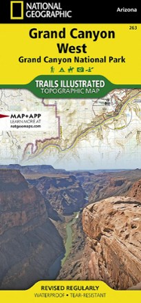
Grand Canyon National Park Trail Map - West
National GeographicThis Trails Illustrated folded map offers comprehensive coverage of the western section of Grand Canyon National Park.

Grand Gulch Plateau Trail Map
National GeographicThis waterproof Trails Illustrated map of Utah's Grand Gulch Plateau in the San Juan Resource Area is a great reference for exploration.
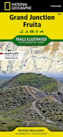
Grand Junction / Fruita Topographic Map
National GeographicPacked with over 500 miles of trails, the Trails Illustrated Grand Junction / Fruita topographic map is ideal for anyone hitting the trails in this outdoor recreation mecca of Colorado.

Grand Mesa Trail Map
National GeographicThis National Geographic Trails Illustrated folded map offers comprehensive coverage of Grand Mesa in Colorado.

Grand Staircase / Paunsaugunt Plateau Topographic Map
National GeographicHeaded out to enjoy the abundance of public lands and endless recreational opportunities in southern Utah? You'll love the Trails Illustrated Grand Staircase / Paunsaugunt Plateau topographic map.
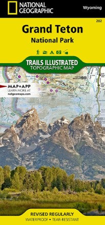
Grand Teton National Park Trail Map
National GeographicThis informative Trails Illustrated map will help you plan trips and explore the area in and around Wyoming's Grand Teton National Park.
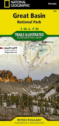
Great Basin National Park Topographic Map
National GeographicExpertly researched and created in partnership with the park, this National Geographic Great Basin National Park topo map is a valuable tool for exploring the area's natural beauty and solitude.
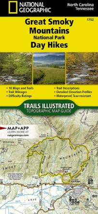
Great Smoky Mountains National Park Day Hikes Topographic Map Guide
National GeographicThe Trails Illustrated Great Smoky Mountains National Park Day Hikes topographic map guide includes 18 diverse hikes for all outdoor enthusiasts, from the short, easy treks to strenuous loops.
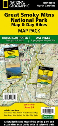
Great Smoky Mountains National Park Map & Day Hikes Map Pack
National GeographicWhether you want an easy day outing or an overnight excursion, with the National Geographic Great Smoky Mountains National Park Map & Day Hikes map pack you can confidently plan every hiking trip.
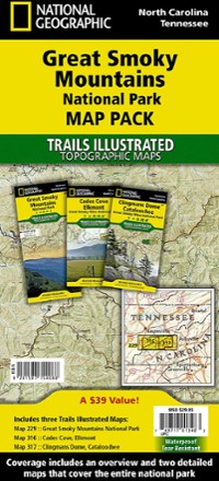
Great Smoky Mountains National Park Topographic Map Pack
National GeographicThe Trails Illustrated Great Smoky Mountains National Park topographic map pack includes an overview map of the entire park as well as 2 detailed maps of the east and west halves of the park.
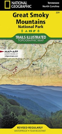
Great Smoky Mountains National Park Trail Map
National GeographicThis detailed National Geographic folded map offers colorful, concise coverage of Great Smoky Mountains National Park in Tenessee and North Carolina.