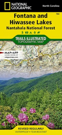
Fontana and Hiwassee Trail Map
National GeographicThis National Geographic Trails Illustrated folded map offers comprehensive coverage of the Fontana and Hiwasse Lakes area of North Carolina.
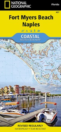
Fort Myers Beach and Naples Coastal Recreation Map
National GeographicLet the National Geographic Fort Myers Beach and Naples Coastal Recreation map guide you, both on land and on water, along the shorelines of southwest Florida.
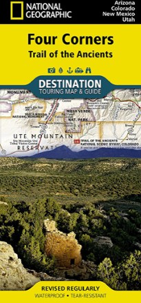
Four Corners: Trail of the Ancients Destination Map
National GeographicThe National Geographic Four Corners: Trail of the Ancients Destination Map combines map and guidebook to display this unique corner of Arizona, Colorado, New Mexico and Utah.
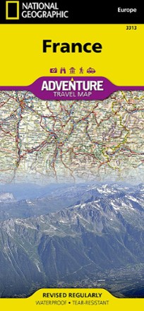
France Adventure Travel Map
National GeographicThe National Geographic France Adventure Travel Map is your finely detailed guide to the best outdoor adventure areas in the country.
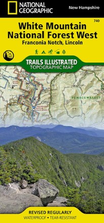
Franconia Notch/North Conway Trail Map
National GeographicThis detailed National Geographic Trails Illustrated folded map offers comprehensive coverage of Franconia Notch and Lincoln in New Hampshire.
North America MapsNew England and Mid Atlantic Maps - DEPRECATED
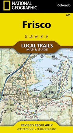
Frisco Local Trails Map & Guide
National GeographicFind year-round opportunities for adventure with this National Geographic Local Trails map and guide of Frisco, Colorado—located at the core of the aptly named Summit County.
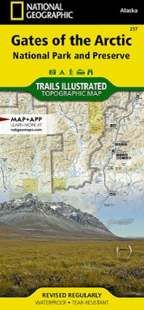
Gates of the Arctic National Park and Preserve Trail Map
National GeographicThis Trails Illustrated folded map offers concise, comprehensive coverage of the Gates of the Arctic National Park and Preserve Trail areas in Alaska.
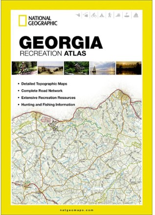
Georgia Recreation Atlas
National GeographicThe durable, easy-to-use National Geographic Georgia recreation atlas is the ideal resource for your outdoor adventures in the Peach state.
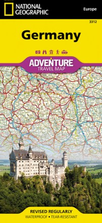
Germany Adventure Travel Map
National GeographicWhether you're touring the country's scenic terrain, cosmopolitan cities or iconic historical sites, the National Geographic Germany Adventure travel map will help you confidently travel and explore.
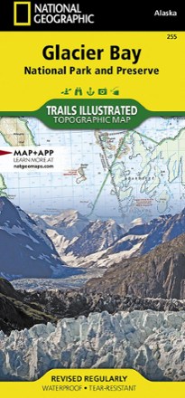
Glacier Bay National Park and Preserve Trail Map
National GeographicThe National Geographic Trails Illustrated Glacier Bay National Park and Preserve trail map offers clear, detailed coverage of this part of southern Alaska's amazing landscape.

Glacier Peak Wilderness Topographic Map
National GeographicThe Trails Illustrated Glacier Peak Wilderness topographic map is an essential travel companion for outdoor enthusiasts exploring this rugged area of Washington state's North Cascades.
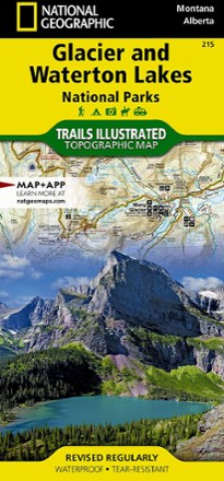
Glacier/Waterton Lakes National Parks Trail Map
National GeographicThis Trails Illustrated folded map offers comprehensive coverage of Glacier and Waterton Lakes national parks in Montana and Alberta.

Glen Canyon NRA Topographic Map
National GeographicThe Trails Illustrated Glen Canyon NRA topographic map is a great reference for outdoor adventure and exploration in this distinctive region of Utah and Arizona.

Goat Rocks, Norse Peak and William O. Douglas Wilderness Areas Topographic Map
National GeographicThe Trails Illustrated Goat Rocks, Norse Peak and William O. Douglas Wilderness Areas topographic map provides unmatched detail to meet the needs of new hikers and experienced outdoor enthusiasts.