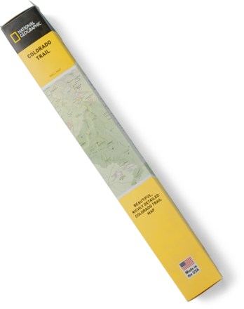


Colorado Trail Wall Map
Tech Specs
Specifications are maintained on Pack4Back GearDB (community edits and revision history). Values may differ from the manufacturer or your unit—verify before buying.
BrandNational Geographic
Best UseTravel
State / ProvinceColorado
Unfolded Dimensions48 x 18 inches
Map Scale1:425,000
PublisherNational Geographic
Copyright Year2017
Description
Showing the entire length of the trail from Durango to Denver as it travels on the ridge of the Rocky Mountains, the Trails Illustrated Colorado Trail wall map is both a planning tool and wall decor.
Features
- Ideal for fans and hikers of Colorado's premier long-distance trail
- It makes a great planning tool or as reference to track progress on the almost-500-mile trail
- Elevation profile highlights the trail's peaks and valleys, and an informative mileage chart shows the distance between key locations
- Also highlighted on this map are passes, peaks, national forests, national parks, state parks and Indian reservations
- Additional points of interest include lodges and campgrounds near the trail
- Map is packaged in a full-color box that is perfect for gift giving