Colorado 14ers - Torreys Peak Trail Map
Tech Specs
Specifications are maintained on Pack4Back GearDB (community edits and revision history). Values may differ from the manufacturer or your unit—verify before buying.
Best UseHiking
State / ProvinceColorado
Folded Dimensions4.25 x 3.625 x 0.1 inches
Unfolded Dimensions17 x 11 x 1 inches
Map Scale1:31,700
Double SidedYes
WaterproofYes
PublisherOutdoors LLC
Copyright Year2015
SustainabilityContains Forest Stewardship Council (FSC) certified materials
Description
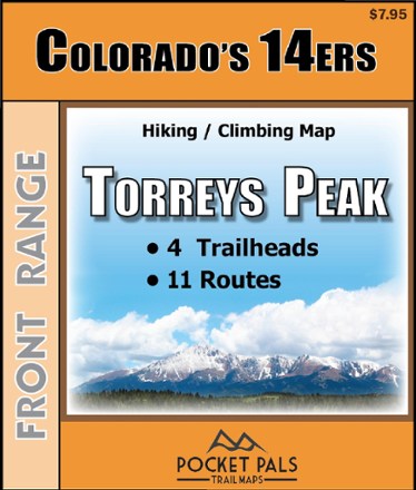
Pocket-size, durable and detailed, the Pocket Pals Colorado 14ers - Torreys Peak trail map contains detailed information on 4 trailheads and 11 routes for hikers and climbers.
Features
- Provides all the important details to plan a trip and stay on track—trail length, difficulty level, total elevation gain/loss, landmarks and directions to the trailhead
- Routes: South Slopes, Chihuahua Gulch, Dead Dog Couloir, Emperor Couloir, Eroica, Kelso Ridge, North Ridge, Northwest Face, South Paw Couloir, West Ridge & Grizzly Gulch Road
- Trailheads: Grizzly Gulch, Stevens Gulch, Chihuahua Gulch, Loveland Pass
- Includes waypoints (such as stream crossings, trail intersections, unique geologic features, overlooks, structural ruins, etc.) to identify along the way
- Waterproof, tear-resistant map stands up to use out on the trails
- Perfectly sized to fit in your pocket, making it easy to take with you