Filters
No categories available
No brands available
North America Maps
Backcountry Ski Map: Silverton, Colorado
Beacon GuidebooksEnjoy light tours to extreme couloirs and deep winter glades to spring summit objectives with the large-scale Backcountry Ski Map: Silverton, Colorado, a waterproof touring companion with 91 routes.
Backcountry Ski Map: Snoqualmie Pass, Washington
Beacon GuidebooksExperience the epic descents, powder fields and steep couloirs of the Cascades with Backcountry Ski Map: Snoqualmie Pass, Washington, a waterproof touring companion featuring 130 routes to ride.

Baja California Road & Recreation Atlas
Benchmark MapsWhether you're navigating between cities or seeking remote destinations, the Baja California Road & Recreation Atlas offers the details you need to plan a great trip from Tijuana to Land's End.
Bald Eagle Pennsylvania State Forest Map - 4th Edition
Purple Lizard MapsA map for people who love real-world experiences, the 4th edition of the Purple Lizard Maps Bald Eagle Pennsylvania State Forest map will help you plan your adventures in and around the area.
Bandelier-Los Alamos Map
See some of New Mexico's most breathtaking scenery with Dharma Maps Bandelier–Los Alamos map, a waterproof, pocket-size design accurately detailed in full topographic color.

Baxter State Park Topographic Map
National GeographicThe Trails Illustrated Baxter State Park Topographic Map combines unmatched detail with helpful information to offer an invaluable tool for making the most of your visit.
North America MapsNew England and Mid Atlantic Maps - DEPRECATED

Bellingham Parks - Central
Square One MapsFind your way around like a local with the Square One Maps Bellingham Parks - Central map. With roads and trails clearly marked on large-scale maps, you'll find it easy to navigate new places.
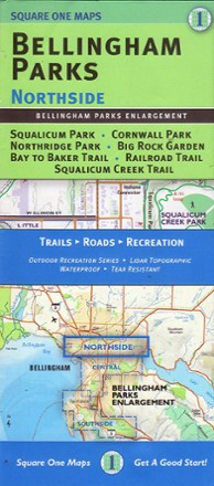
Bellingham Parks - Northside
Square One MapsFind your way around like a local with the Square One Maps Bellingham Parks - Northside map. With trails and roads clearly marked on large-scale maps, you'll find it easy to explore new places.
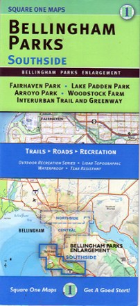
Bellingham Parks - Southside
Square One MapsFind your way around like a local with this Square One Maps Bellingham Parks - Southside map. With trail and roads clearly marked on large-scale maps, you'll find it easy to explore new places.
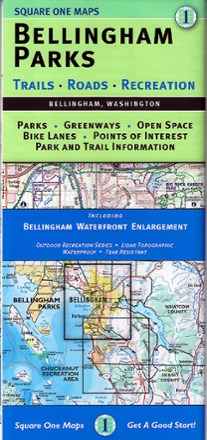
Bellingham Parks Map
Square One MapsGet the most of the outdoor recreation and nature around in Whatcom County with Bellingham Parks map as your guide to the area's best parks, open spaces, greenways, bike paths and points of interest.
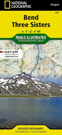
Bend / Three Sisters Topographic Map
National GeographicThe Trails Illustrated Bend / Three Sisters topographic map makes it easy to explore the mountains and wilderness in this gorgeous part of central Oregon.
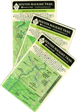
Benton MacKaye Trail Map Set
AntiGravityGearThis Benton MacKaye Trail map set from AntiGravityGear is a backpacker's best friend. Looking to tackle all or part of the Benton MacKaye Trail? You'll want to keep these pocket guides handy.
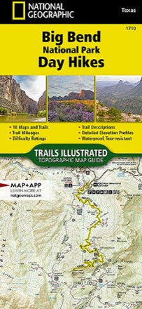
Big Bend National Park Day Hikes Topographic Map
National GeographicOffering 18 maps, each featuring its own hike—all ranging in difficulty and distance—the National Geographic Big Bend National Park Day Hikes Topographic map helps you select the best trail for you.
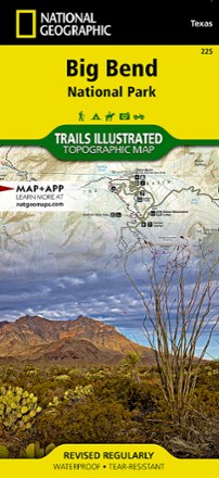
Big Bend National Park Trail Map
National GeographicThis Trails Illustrated folded map offers comprehensive coverage of Big Bend National Park in Texas.