Books And Maps
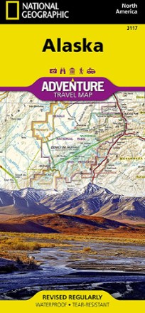
Alaska Adventure Travel Map
National GeographicShowing features across Alaska—from temperate rainforest in the Panhandle to the arctic tundra of the North Slope—the National Geographic Alaska Adventure Travel map helps you plan your adventures.

Alaska Atlas and Gazetteer
DeLormeFrom cities and historic sites to scenic drives and trailheads, the DeLorme Alaska Atlas and Gazetteer has the info you need to navigate and explore the many sides of Alaska's vast landscape.
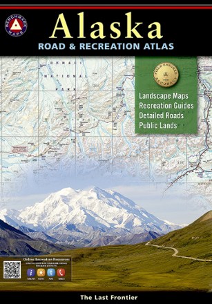
Alaska Benchmark Road & Recreation Atlas
Benchmark MapsField-checked for accuracy, the precise Benchmark Maps Alaska Benchmark Road & Recreation Atlas displays the rugged scenery and recreation of the Last Frontier.
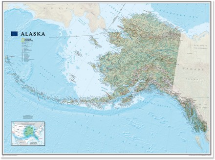
Alaska Wall Map - Tubed
National GeographicOne of the largest and most detailed maps of the entire North Star State, the classic National Geographic Alaska wall map contains beautiful proprietary fonts, bright colors and rich shaded relief.

Alaska's Inside Passage Destination Map
National GeographicThe National Geographic Alaska's Inside Passage Destination map combines a highly detailed shaded relief map of southeast Alaska, complete with visitor and guidebook information.
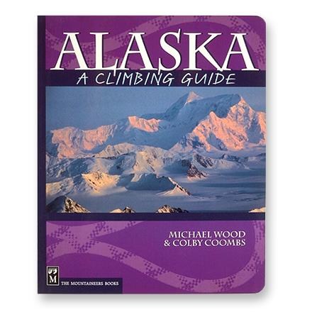
Alaska: A Climbing Guide
Mountaineers BooksThe ultimate climbing guidebook to Alaska's mountain peaks, from the southeast to the Brooks Range.
North America Climbing GuidebooksHawaii and Alaska Climbing Guidebooks - DEPRECATED

All Aboard: National Parks
Turn story time into a globetrotting event with All Aboard: National Parks. This illustrated tour-by-train board book is a fun primer that celebrates each unique place it visits.

All About Nubble Light
Your personal guide to one of Maine's beloved lighthouses, All About Nubble Light is a treasure trove of fact, figures, history and folklore surrounding this majestic beacon in York.

All About Portland Head Light
Delve into Maine's maritime history with All About Portland Head Light, a treasure trove of facts, figures, history and folklore surrounding the majestic beacon.

All and Nothing
Mountaineers BooksAll and Nothing delves into the cultural history of free soloing in storied locales ranging from the Rocky Mountains to the Gunks—and probes climbers' relationships to risk, control and mortality.
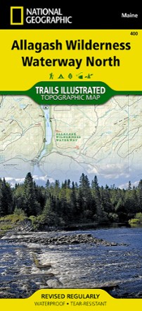
Allagash Wilderness Waterway North Map
National GeographicWhen driving the Maine Scenic Byway, paddling the Northern Forest Canoe Trail or camping in the North Maine Woods, the Trails Illustrated Allagash Wilderness Waterway North map is invaluable.
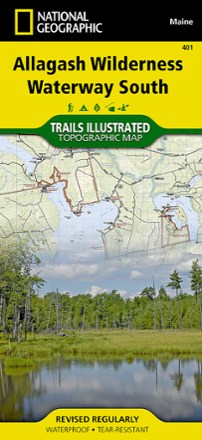
Allagash Wilderness Waterway South Map
National GeographicWhen paddling the Northern Forest Canoe Trail, camping in the North Maine Woods or driving the Maine Scenic Byway, the Trails Illustrated Allagash Wilderness Waterway South map is invaluable.
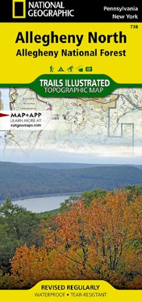
Allegheny North Trail Map - Allegheny National Forest
National GeographicThe National Geographic Trails Illustrated Allegheny North trail map offers clear, detailed coverage of the northern part of the Allegheny National Forest in Pennsylvania and New York.
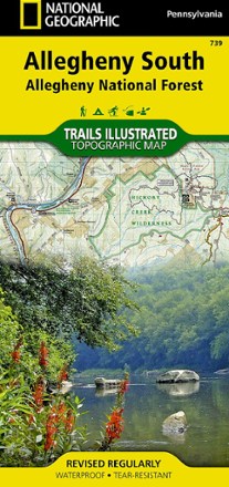
Allegheny South: Allegheny National Forest Topographic Map
National GeographicThis National Geographic Trails Illustrated Allegheny South trail map offers clear, detailed coverage of the south part of the Allegheny National Forest in Pennsylvania.