
Canyons of the Escalante Trail Map
National GeographicThis National Geographic Trails Illustrated folded map offers comprehensive coverage of the canyons of the Escalante in Utah.
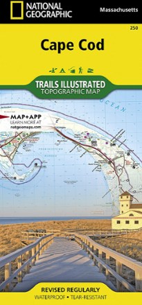
Cape Cod National Seashore Trail Map
National GeographicThis Trails Illustrated folded map offers comprehensive coverage of Cape Cod National Seashore in Massachusetts.
North America MapsNew England and Mid Atlantic Maps - DEPRECATED
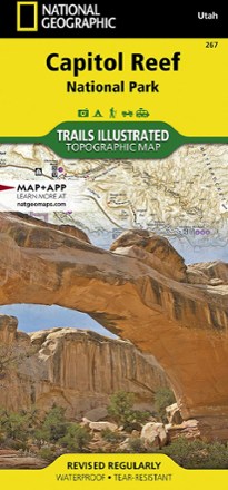
Capitol Reef National Park Trail Map
National GeographicThe National Geographic Trails Illustrated Capitol Reef National Park trail map offers clear, detailed coverage of this part of Utah's amazing geology.
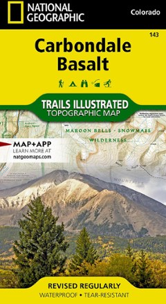
Carbondale/Basalt Trail Map
National GeographicThis National Geographic Trails Illustrated folded map offers comprehensive coverage of Colorado's Carbondale and Basalt.

Carson-Iceberg, Emigrant & Mokelumne Wilderness Areas Topographic Map
National GeographicThe Trails Illustrated Carson-Iceberg, Emigrant & Mokelumne Wilderness Areas topographic map provides unmatched detail and valuable info for outdoor enthusiasts exploring California's Sierra Nevada.
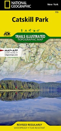
Catskill Park Trail Map
National GeographicThe Trails Illustrated Catskill Park trail map from National Geographic offers detailed coverage of New York's Catskill Park, from Bearhead Spring Mountain to Vernooy Kill Forest.
North America MapsNew England and Mid Atlantic Maps - DEPRECATED

Cedar Mountain/Pine Valley Mountain Trail Map
National GeographicThis National Geographic Trails Illustrated folded map offers comprehensive coverage of Utah's Cedar Mountain and Pine Valley Mountain area.

Central Cascades Destination Map
National GeographicNational Geographic Central Cascades Destination Map balances between map and guidebook—an ideal resource for touring the beauty and grandeur of the Pacific Northwest of Washington and Oregon.
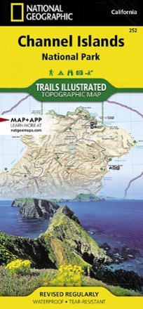
Channel Islands National Park Topographic Map
National GeographicThe Trails Illustrated Channel Islands National Park Topographic Map covers with unparalleled detail the 5 islands that encompass the park, including the State Marine Reserve surrounding the islands.
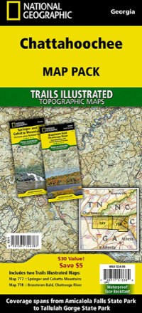
Chattahoochee Topographic Map Pack
National GeographicTrails Illustrated Chattahoochee topographic map pack offers 2 titles for Chattahoochee National Forest, covering the Appalachian Trail's south end and an abundance of recreational opportunities.
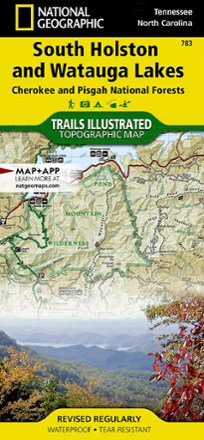
Cherokee and Pisgah National Forests - South Holston and Watauga Lakes Trail Map
National GeographicThis National Geographic Trails Illustrated folded map offers coverage of South Holston and Watauga Lakes in Tennessee and North Carolina.

Cherokee and Pisgah National Forests Topographic Map
National GeographicThe detailed Trails Illustrated Cherokee and Pisgah National Forests topographic map offers concise and colorful coverage of the French Broad and Nolichucky rivers in Tennessee and North Carolina.
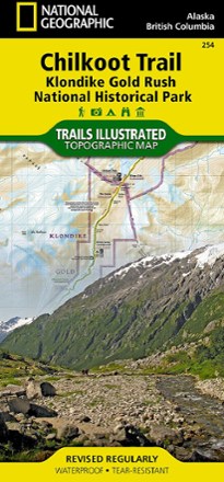
Chilkoot Trail/Klondike Gold Rush National Historic Park Topographic Map
National GeographicCreated with local land management agencies, the expertly researched National Geographic Chilkoot Trail topographic map will help you explore, hike, camp and view wildlife in this rugged frontier.
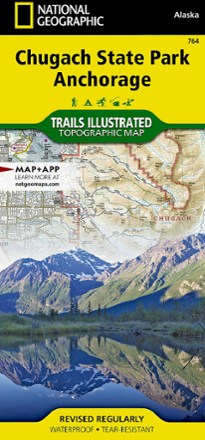
Chugach State Park / Anchorage Topographic Map
National GeographicThe Trails Illustrated Chugach State Park / Anchorage topographic map combines unmatched detail with helpful info to offer an invaluable tool for making the most of your visit to this exciting region.