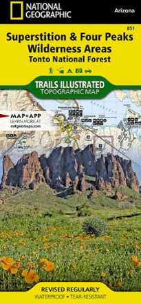
Superstition & Four Peaks Wilderness Areas Topographic Map
National GeographicExpertly researched in cooperation with the U.S. Forest Service and others, the Trails Illustrated Superstition & Four Peaks Wilderness Areas topographic map provides unmatched detail of this area.

Switzerland Adventure Travel Map
National GeographicProviding a balanced combination of detail and perspective, the National Geographic Switzerland Adventure travel map is the tool you'll want to keep handy for all your Swiss travels.

Sycamore Canyon / Verde Valley Topographic Map
National GeographicCreated in partnership with the U.S. Forest Service, the Trails Illustrated Sycamore Canyon / Verde Valley topographic map is an essential for exploring this picturesque area in Northern Arizona.
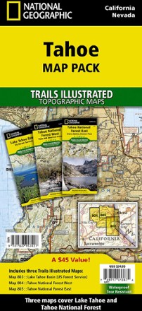
Tahoe Map Pack
National GeographicThe sapphire jewel in the crown of the Sierra Nevada, Lake Tahoe, and the surrounding area, offers lots to explore. Plan your adventure with this Trails Illustrated Tahoe map pack.
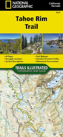
Tahoe Rim Trail Topographic Map Guide
National GeographicThe Tahoe Rim Trail traverses some of the most spectacular scenery in the Sierra Nevada and Carson Ranges. Use the Trails Illustrated Tahoe Rim Trail topographic map guide to find your way.

Taos and Carson National Forest Map
National GeographicThis Trails Illustrated folded map is your essential guide for outdoor exploration in the Taos area of northern New Mexico.

Tarryall Mtns. / Kenosha Pass Topographic Map
National GeographicExpertly researched along with local land management agencies, the Trails Illustrated Tarryall Mtns. / Kenosha Pass topographic map provides an unparalleled tool for exploring this region of Colorado.
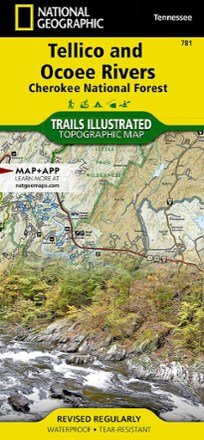
Tellico and Ocoee Rivers Topographic Map
National GeographicThe Trails Illustrated Tellico and Ocoee Rivers topographic map is designed to meet the needs of outdoor enthusiasts seeking to explore the southern section of Cherokee National Forest.

Telluride Local Trails Map & Guide
National GeographicHow do you pick which adventure to start with at a world-renowned outdoor destination? Start here, with the National Geographic Telluride local trails map, which pairs a front map with a back guide.
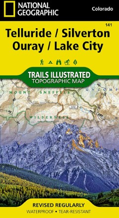
Telluride/Silverton/Ouray/Lake City Trail Map
National GeographicThis colorful Illustrated folded map offers detailed coverage of trails around Telluride and Lake City.
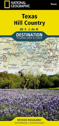
Texas Hill Country Destination Touring Map and Guide
National GeographicThe National Geographic Texas Hill Country Destination Touring map and guide strikes a balance between map and guidebook—perfect for touring this culturally and geographically unique region.
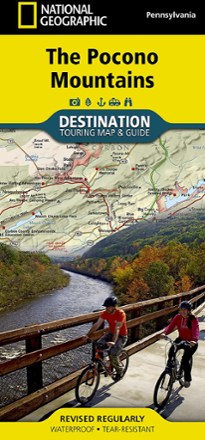
The Pocono Mountains Destination Touring Map & Guide
National GeographicThe National Geographic Pocono Mountains destination touring map and guide combines gorgeous shaded relief with detailed info for exploring the wooded hills and valleys of northeastern Pennsylvania.
North America MapsNew England and Mid Atlantic Maps - DEPRECATED

The Ultimate Hiker's Gear Guide - Second Edition
National GeographicIn The Ultimate Hiker's Gear Guide, renowned long-distance hiker Andrew Skurka shares his essential, hard-earned knowledge about backpacking gear and skills for both long and short trips.
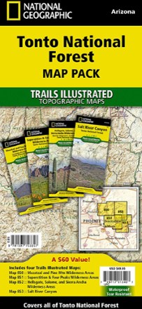
Tonto National Forest Topographic Map Pack
National GeographicThe Trails Illustrated Tonto National Forest Topographic Map Pack offers detailed coverage of almost 3 million acres of diverse terrain just outside of Phoenix, AZ.