
Paria Canyon and Kanab Topographic Map
National GeographicThe Trails Illustrated Paria Canyon and Kanab topographic map leads the way to a colorful landscape of sandstone cliffs, slot canyons and winding waterways straddling the border of Arizona and Utah.
Paunsaugunt Plateau, Mount Dutton & Bryce Canyon Topographic Map
National GeographicFrom Black Butte to Pink Cliffs, journey through southern Utah's dramatic scenery with the National Geographic Paunsaugunt Plateau, Mount Dutton & Bryce Canyon topographic map as your guide.
Pennsylvania Recreation Atlas
National GeographicThe National Geographic Pennsylvania Recreation Atlas offers detailed topographic maps, complete road networks and extensive recreation resources for the Keystone State.
North America MapsNew England and Mid Atlantic Maps - DEPRECATED

Pikes Peak / Canon City Topographic Map
National GeographicThe Trails Illustrated Pikes Peak / Canon City topographic map offers detailed coverage of the highest summit in the southern Front Range of the Rocky Mountains.

Pisgah National Forest Trail Map
National GeographicThis Trails Illustrated folded map offers clear, concise coverage of Pisgah National Forest in North Carolina.
Pocket Guide to Rocks and Minerals of North America
National GeographicThe National Geographic Pocket Guide to Rocks and Minerals of North America offers a basic beginner's field guide to help you identify common rocks, minerals, gems, fossils and land formations.
Poudre River and Cameron Pass Map
National GeographicThis National Geographic Trails Illustrated folded map offers comprehensive coverage of the Poudre River and Cameron Pass areas in Colorado.
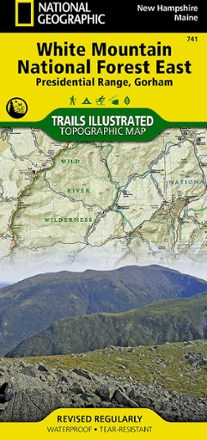
Presidential Range / Gorham Topographic Map
National GeographicThe Trails Illustrated Presidential Range / Gorham Topographic Map provides unmatched detail for outdoor enthusiasts seeking to enjoy the year-round recreational opportunities this area has to offer.
North America MapsNew England and Mid Atlantic Maps - DEPRECATED
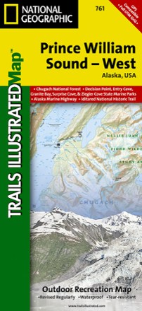
Prince William Sound - West Map
National GeographicThis Trails Illustrated folded map is your essential guide for outdoor exploration in the west region of Alaska's Prince William Sound.

Rand Stillwater Pass Topographic Map
National GeographicThe detailed Trails Illustrated Rand Stillwater Pass topographic map is perfect for outdoor enthusiasts exploring this pristine mountainous area just outside of Rocky Mountain National Park.

Red Feather Lakes / Glendevey Topographic Map
National GeographicThe Trails Illustrated Red Feather Lakes / Glendevey topographic map provides unmatched detail of this mountainous area in north central Colorado.
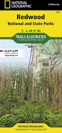
Redwood National Park Trail Map
National GeographicThis National Geographic Trails Illustrated folded map offers comprehensive coverage of California's Redwood National Park.
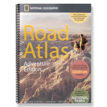
Road Atlas - Adventure Edition
National GeographicThe National Geographic Road Atlas Adventure Edition details 100 top outdoor destinations as selected by the editors of National Geographic Adventure Magazine.
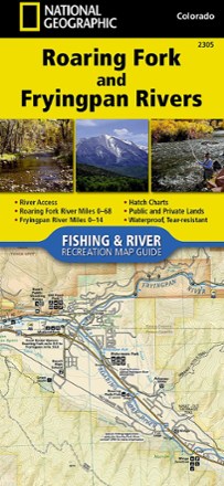
Roaring Fork and Fryingpan Rivers Fishing and River Recreation Map Guide
National GeographicThe National Geographic Roaring Fork and Fryingpan Rivers Fishing and River Recreational Map Guide is the perfect companion to anyone angling or recreating on either of these iconic Colorado rivers.