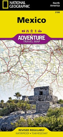
Mexico Adventure Travel Map
National GeographicDesigned with travelers in mind, the National Geographic Mexico Adventure Map is an excellent guide to Mexico's rich cultural history, national parks and archeological sites.
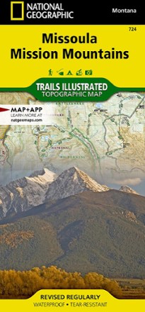
Missoula / Mission Mountains Topographic Map
National GeographicLooking to enjoy the abundant recreational lands in the mountains of western Montana? You'll find the Trails Illustrated Missoula / Mission Mountains topographic map an essential travel companion.
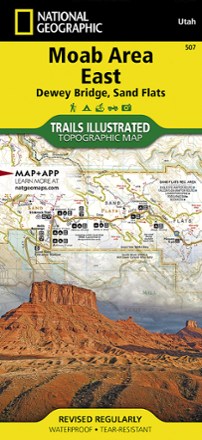
Moab Area East - Dewey Bridge, Sand Flats Map
National GeographicWhether you're going camping, hiking, mountain biking or rafting, the National Geographic Trails Illustrated Moab Area East - Dewey Bridge, Sand Flats map can help you navigate the area like a pro.
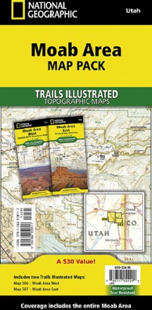
Moab Area Map Pack
National GeographicPlanning your next Moab adventure? Whether you're going camping, hiking, mountain biking or rafting, the National Geographic Trails Illustrated Moab Area map pack can help with your logistics.
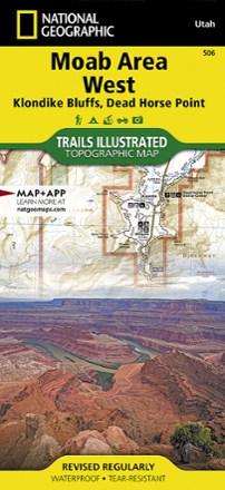
Moab Area West - Klondike Bluffs, Dead Horse Point Map
National GeographicWhether you're going camping, mountain biking, hiking or rafting, the National Geographic Trails Illustrated Moab Area West - Klondike Bluffs, Dead Horse Point map can help you navigate like a pro.

Mogollon Rim/ Munds Mountain Topographic Map
National GeographicOutdoor enthusiasts seeking recreational opportunities in central Arizona will find the Trails Illustrated Mogollon Rim/ Munds Mountain topographic map an essential travel companion.

Mojave National Preserve Trail Map
National GeographicThis detailed Trails Illustrated folded map offers comprehensive coverage of California's Mojave National Preserve.

Mount Baker and Boulder River Wilderness Areas Topographic Map
National GeographicThe Trails Illustrated Mount Baker and Boulder River Wilderness Areas topographic map helps you enjoy the limitless recreational opportunities in the western Cascades of northern Washington.
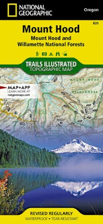
Mount Hood Topographic Map
National GeographicThe Trails Illustrated Mount Hood topographic map was expertly researched in partnership with the U.S. Forest Service and others to offer unparalleled detail for exploring this alpine jewel of Oregon.
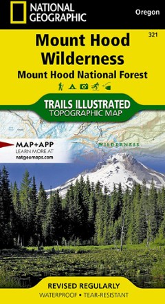
Mount Hood Wilderness Topographic Map
National GeographicThe detailed Trails Illustrated Mount Hood Wilderness topographic map showcases the snowcapped Oregon icon of Mt. Hood—a premier destination for outdoor enthusiasts.
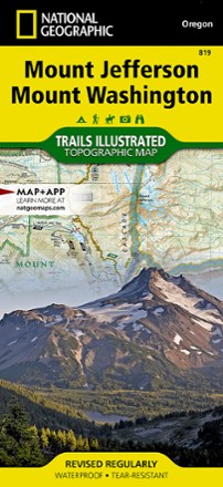
Mount Jefferson and Mount Washington Topographic Map
National GeographicThe Trails Illustrated Mount Jefferson and Mount Washington topographic map combines unmatched detail with helpful info for making the most of your visit to the High Cascades.
North America MapsNew England and Mid Atlantic Maps - DEPRECATED
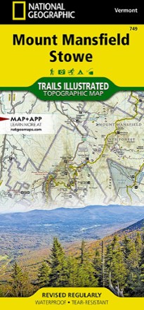
Mount Mansfield / Stowe Topographic Map
National GeographicEnjoy year-round recreational opportunities in northern Vermont with the Trails Illustrated Mount Mansfield / Stowe topographic map.
North America MapsNew England and Mid Atlantic Maps - DEPRECATED
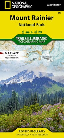
Mount Rainier National Park Trail Map
National GeographicThis colorful Trails Illustrated folded map offers detailed coverage of Mount Rainier National Park in Washington State.
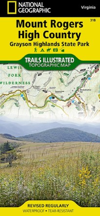
Mount Rogers High Country Map
National GeographicThe National Geographic Trails Illustrated Mount Rogers High Country map offers detailed coverage of the landscapes and sweeping vistas found in Virginia's Grayson Highlands State Park.