
Junior Ranger Activity Book
National GeographicJam-packed with fun facts and activities to get budding nature-lovers excited, National Geographic Junior Ranger activity book helps teach your young one about our national parks and their habitats.
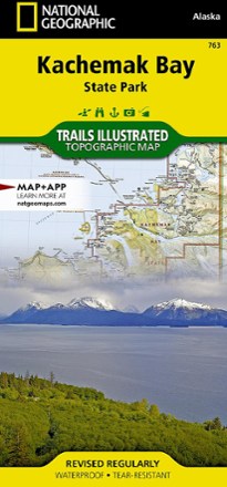
Kachemak Bay State Park Map
National GeographicPrinted on durable tear-resistant, waterproof plastic, this map of Kachemak Bay State Park in Alaska can go virtually anywhere you do.
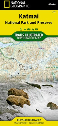
Katmai National Park and Preserve Trail Map
National GeographicThis National Geographic Trails Illustrated folded map offers comprehensive coverage of Alaska's Katmai National Park and Preserve.
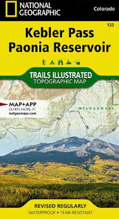
Kebler Pass / Paonia Reservoir Topographic Map
National GeographicThe Trails Illustrated Kebler Pass / Paonia Reservoir topographic map offers outdoor enthusiasts unparalleled detail of this untamed mountainous area with endless recreational opportunities.
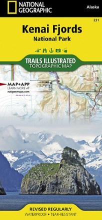
Kenai Fjords National Park Topographic Map
National GeographicExpertly researched and highly detailed, this National Geographic Kenai Fjords National Park topographic map will guide your explorations on both land and water.
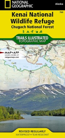
Kenai National Wildlife Refuge/Chugach National Forest Topographic Map
National GeographicThis expertly researched National Geographic Kenai National Wildlife Refuge topographic map contains an abundance of information on the recreational opportunities in this expansive, biodiverse area.

Kremmling / Granby Topographic Map
National GeographicThe Trails Illustrated Kremmling / Granby topographic map delivers unmatched detail and valuable information to assist you in your exploration of this popular Colorado recreational area.
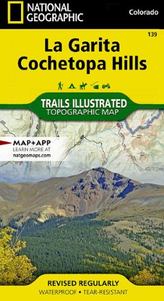
La Garita / Cochetopa Hills Topographic Map
National GeographicThe Trails Illustrated La Garita / Cochetopa Hills topographic map provides unmatched detail of this mountainous and forested area in southern Colorado.
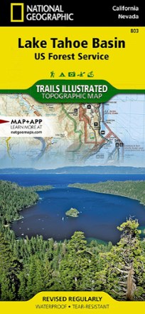
Lake Tahoe Basin Trail Map
National GeographicThis Trails Illustrated folded map offers comprehensive coverage of the Lake Tahoe Basin.
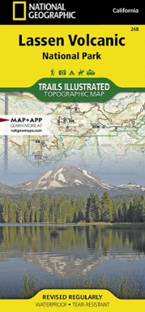
Lassen Volcanic National Park Topographic Map
National GeographicThe expertly researched Trails Illustrated Lassen Volcanic National Park topographic map is a valuable tool for exploring the park's fumaroles, hot springs, mud pots, mountain lakes and forests.
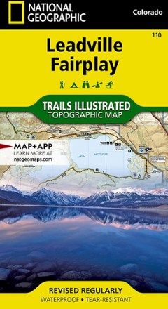
Leadville Fairplay Topographic Map
National GeographicThe Trails Illustrated Leadville Fairplay topographic map combines valuable information with unmatched detail of this popular destination for year-round recreation.

Lexington/Blue Ridge Mountains Trail Map
National GeographicThis colorful Trails Illustrated folded map offers detailed coverage of the Lexington and Blue Ridge Mountains areas in Virginia.
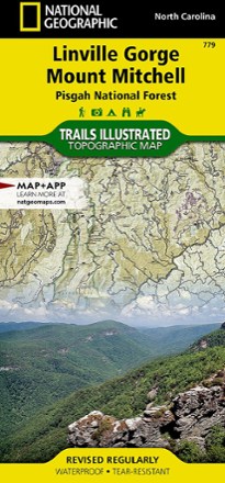
Linville Gorge / Mount Mitchell Topographic Map
National GeographicThe Trails Illustrated Linville Gorge / Mount Mitchell topographic map provides an unparalleled tool for exploring these remarkable features within Pisgah National Forest.
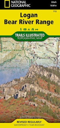
Logan / Bear River Range Topographic Map
National GeographicThe Trails Illustrated Logan / Bear River Range topographic map offers unparalleled detail for outdoor enthusiasts looking to explore this area of Colorado in any season.