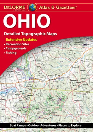
Ohio Atlas and Gazetteer - 2022 Edition
DeLormeA great companion for outdoor recreation and trip planning, the DeLorme Ohio Atlas and Gazetteer covers every inch of the Buckeye State in fine detail.
Oklahoma Atlas and Gazetteer
DeLormeSee all the cities and sites across the Sooner State with the DeLorme Oklahoma Atlas and Gazetteer, covering every inch of the 46th state in vivid detail.
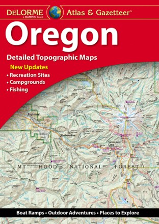
Oregon Atlas and Gazetteer
DeLormeA great companion for recreation and trip planning, the DeLorme Oregon Atlas and Gazetteer covers the entire Beaver State, from the peak of Mount Hood to Crater Lake—the deepest lake in the U.S.
Pennsylvania Atlas and Gazetteer
DeLormeFrom the banks of the Delaware River to the Allegheny National Forest, the DeLorme Pennsylvania Atlas and Gazetteer covers the entire Keystone State in fine detail.
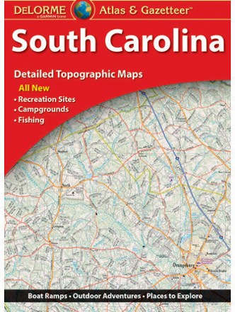
South Carolina Atlas and Gazetteer
DeLormeThe DeLorme South Carolina Atlas and Gazetteer covers the entire Palmetto State in fine detail, from the Grand Strand in Myrtle Beach to the eastern bank of the Savannah River.
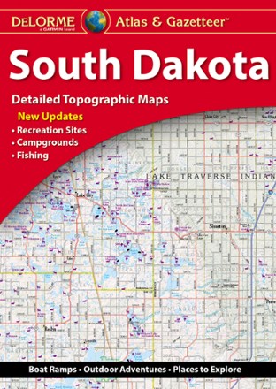
South Dakota Atlas and Gazetteer
DeLormeFrom the Black Hills to the Badlands, the DeLorme South Dakota Atlas and Gazetteer is your guide to sightseeing and trip planning around the most popular and lesser-known spots in the state.
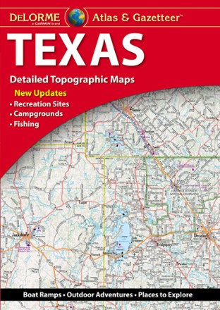
Texas Atlas and Gazetteer
DeLormeFrom the Gulf Coast to the Hill Country to the Panhandle Plains, the DeLorme Texas Atlas and Gazetteer provides detailed maps so you can discover and explore every corner of the Lone Star State.
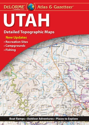
Utah Atlas & Gazetteer
DeLormeWhether hitting up the national parks or going deep into the backcountry, plan your trip to the Beehive Sate with detailed help from the Utah Atlas & Gazetteer large-format topographic map.

Virginia Atlas and Gazetteer
DeLormeFrom Chesapeake Bay to the picturesque Blue Ridge Mountains, the DeLorme Virginia Atlas and Gazetteer covers all of Old Dominion in fine detail.
North America MapsNew England and Mid Atlantic Maps - DEPRECATED
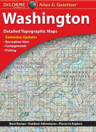
Washington Atlas and Gazetteer
DeLormeFrom the summit of Mount Rainier to the west coast of the Olympic Peninsula, the DeLorme Washington Atlas and Gazetteer covers the entire Evergreen state in fine detail.
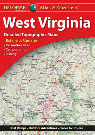
West Virginia Atlas and Gazetteer
DeLormeBe ready for a road trip in the Mountain State with the DeLorme West Virginia Atlas and Gazetteer. The detailed maps are great for sightseeing, trip planning and finding your new favorite hiking spot.
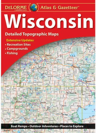
Wisconsin Atlas and Gazetteer
DeLormeFrom the shores of Lake Superior and Lake Michigan to the forests and bluffs of the Western Upland, the DeLorme Wisconsin Atlas and Gazetteer covers the entire Badger State in fine detail.
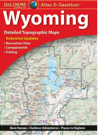
Wyoming Atlas and Gazetteer
DeLormeWhen more than half the state is public land, you know there's a ton to explore. The DeLorme Wyoming Atlas and Gazetteer covers the entire Equality State in fine detail.