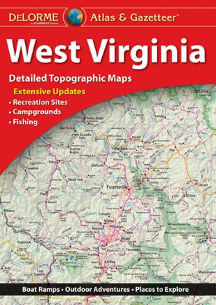

West Virginia Atlas and Gazetteer
Tech Specs
BrandDeLorme
Best UseTravel
State / ProvinceWest Virginia
Folded Dimensions15.5 x 11 x 1 inches
Unfolded Dimensions15.5 x 22 x 1 inches
Map Scale1:130,000
Double SidedYes
WaterproofYes
PublisherGarmin
Copyright Year2022
Description
Be ready for a road trip in the Mountain State with the DeLorme West Virginia Atlas and Gazetteer. The detailed maps are great for sightseeing, trip planning and finding your new favorite hiking spot.
Features
- Detailed topographic, large-format map with elevation contours, major highways, dirt roads, trails and land use data
- Gazetteer section includes points of interest, landmarks, state and national parks, campgrounds, boat launches, historic sites, canoe trips, scenic drives and more
- While available information varies by state, DeLorme maps generally provide information essential for any outdoor enthusiast