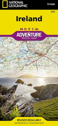


Ireland Adventure Travel Map
Tech Specs
Specifications are maintained on Pack4Back GearDB (community edits and revision history). Values may differ from the manufacturer or your unit—verify before buying.
BrandNational Geographic
Best UseTravel
Description
The durable and accurate National Geographic Ireland Adventure Travel Map provides global travelers with highlighted points of interest and unique destinations within the country.
Features
- Includes diverse, exotic destinations for adventure travelers, along with key travel landmarks such as airports, airstrips, rail lines, lighthouses and harbors
- Locates major cities and towns and clearly marks the road network, complete with distances and designations for major highways, toll roads, limited-access highways and more
- Maps recreational, ecological, cultural, and historic points of interest including UNESCO World Heritage sites, churches, forts, ruins, monasteries, spas, beaches and camping
- Clearly designates boundaries of protected areas, such as national parks
- Reveals places off the beaten path that can lead to memorable adventures
- 1:385,000 scale
- Printed in the USA on durable, lightweight, waterproof and tear-resistant material designed to withstand the rigors of international travel
- Folded dimensions: 4.25 x 9.25 in. unfolded dimensions: 37.75 x 25.5 in.
- National Geographic Maps; copyright 2011