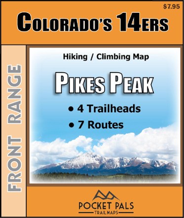
Colorado 14ers - Pikes Peak Trail Map
Tech Specs
Specifications are maintained on Pack4Back GearDB (community edits and revision history). Values may differ from the manufacturer or your unit—verify before buying.
Best UseHiking
State / ProvinceColorado
Folded Dimensions4.25 x 3.625 x 0.1 inches
Unfolded Dimensions17 x 11 x 1 inches
Map Scale1:46,000
Double SidedYes
WaterproofYes
PublisherOutdoors LLC
Copyright Year2015
SustainabilityContains Forest Stewardship Council (FSC) certified materials
Description
Pocket-size, durable and detailed, the Pocket Pals Colorado 14ers - Pikes Peak trail map contains detailed information on 4 trailheads and 7 routes for hikers and climbers.
Features
- Provides all the important details to plan a trip and stay on track—trail length, difficulty level, total elevation gain/loss, landmarks and directions to the trailhead
- Routes: East Slopes/Barr Trail (Standard), Northwest Slopes (Crags), Railroad Couloir, Y Couloir, Heizer/Trail 638 Approach, Bottomless Pit Approach, Rumdoodle Ridge Approach
- Trailheads: Barr/Manitour Springs, Crags, Heizer and Devil's Playground
- Waterproof, tear-resistant map stands up to use out on the trails
- Perfectly sized to fit in your pocket, making it easy to take with you