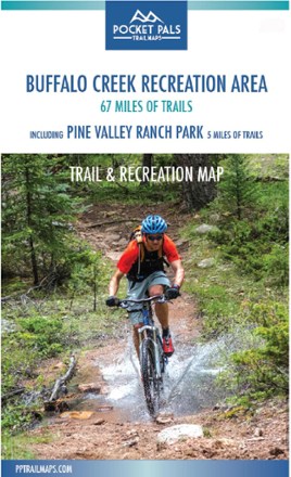
Buffalo Creek Recreation Area Trail and Recreation Map
Tech Specs
Specifications are maintained on Pack4Back GearDB (community edits and revision history). Values may differ from the manufacturer or your unit—verify before buying.
Best UseHiking
State / ProvinceColorado
Folded Dimensions6.25 x 4.125 x 0.1 inches
Unfolded Dimensions18.875 x 12.5 x 0.02 inches
Map Scale1:33,800
Double SidedYes
WaterproofYes
PublisherOutdoors LLC
Copyright Year2018
SustainabilityContains Forest Stewardship Council (FSC) certified materials
Description
Pocket-size, durable and detailed, the Pocket Pals Buffalo Creek Recreation Area trail map covers 67 miles of trails, including 5 miles of trails in Pine Valley Ranch Park, and many camping areas.
Features
- Provides all the important details to plan a trip and stay on track—trail length, difficulty level, total elevation gain/loss, landmarks and trailhead locations
- Includes waypoints (such as stream crossings, trail intersections, unique geologic features, overlooks, structural ruins, etc.) to identify along the way
- Waterproof, tear-resistant map stands up to use out on the trails
- Perfectly sized to fit in your pocket, making it easy to take with you