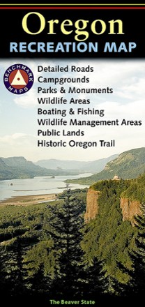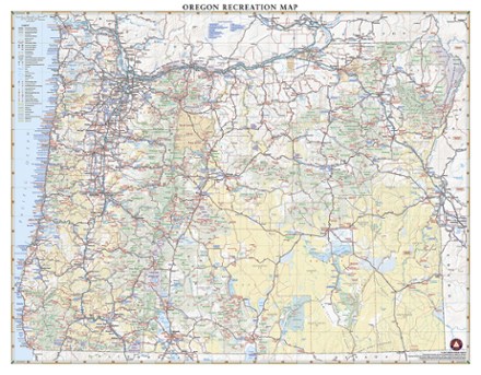


Oregon Recreation Map
Tech Specs
Description
The detailed Benchmark Maps Oregon Recreation Map is designed specifically for outdoor adventure. its award-winning design features generous page-to-page overlaps, GPS grids and easy-to-read symbols.
Features
- Field-checked for accuracy, landscape maps showcase beautiful, shaded relief of land topography
- Contains essential recreation information and road classes for the entire state, from freeways to off-road trails
- Recreation guide includes parks, monuments, historic sites, campgrounds, RV parks and boat launches
- Metro area maps of large cities are scaled to enhance detail and simplify urban navigation
- Climate graphs for selected cities and towns help you determine the best times to visit
- Comprehensive index for quickly locating attractions and destinations
- Regional maps show local mileages and mileage charts
- Details include rest areas, exit numbers, point-to-point roadway mileages, campgrounds, RV parks, road surface types and cities with elevation
- 1:800,000 scale
- Folded dimensions: 4.25 x 9 in.; unfolded dimensions: 34 x 26.5 in.
- Benchmark Maps & Atlases; copyright 2014