Filters
No categories available
No brands available
Southwest Maps
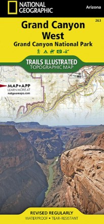
Grand Canyon National Park Trail Map - West
National GeographicThis Trails Illustrated folded map offers comprehensive coverage of the western section of Grand Canyon National Park.

Grand Staircase / Paunsaugunt Plateau Topographic Map
National GeographicHeaded out to enjoy the abundance of public lands and endless recreational opportunities in southern Utah? You'll love the Trails Illustrated Grand Staircase / Paunsaugunt Plateau topographic map.
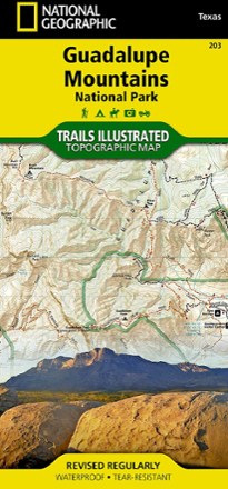
Guadalupe Mountains National Park Trail Map
National GeographicThis Trails Illustrated folded map offers comprehensive coverage of Guadalupe Mountains National Park in Texas.
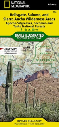
Hellsgate, Salome, & Sierra Ancha Wilderness Areas Topographic Map
National GeographicThe Trails Illustrated Hellsgate, Salome, & Sierra Ancha Wilderness Areas topographic map provides unmatched detail of the northeast region of Tonto National Forest.
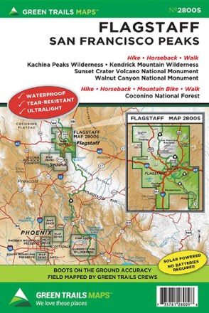
Map 2800S - Flagstaff and San Francisco Peaks
Green TrailsEnjoy epic trails up the highest peak in Arizona, around ancient stratovolcanoes and along lush pine canyons with the Green Trails Flagstaff and San Francisco Peaks topographic map (2800S).
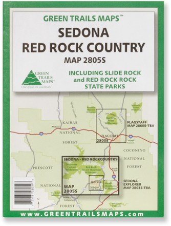
Map 2805S - Sedona/Red Rock Country
Green TrailsRanging across the Sycamore Canyon, Red Rock Secret Mountain and Munds Mountain wildernesses, the Green Trails Sedona/Red Rock Country map (2805S) is a beautifully detailed topographic guide.
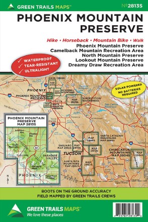
Map 2813S - Phoenix Mountain Preserve
Green TrailsStretching from Lookout Mountain to Camelback Mountain, the Green Trails Phoenix Mountain Preserve map (2813S) offers a beautifully detailed topographic guide to this region near Phoenix, Arizona.
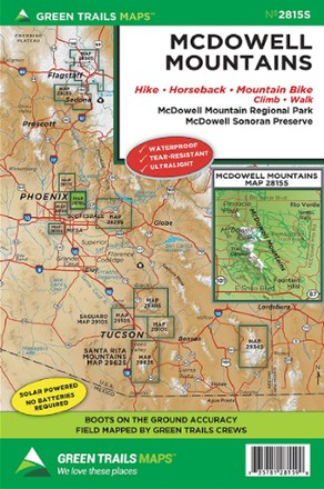
Map 2815S - McDowell Mountains
Green TrailsThe Green Trails McDowell Mountains map offers a beautifully detailed topographic guide to the Arizona's McDowell Sonoran Preserve and McDowell Mountain Regional Park.

Map 2829S - Superstition Wilderness Map
Green TrailsThe vivid topographic detail of the Green Trails Superstition Wilderness map leads you to amazing destinations, including Four Peaks Wilderness, Tonto National Monument and Lost Dutchman State Park.
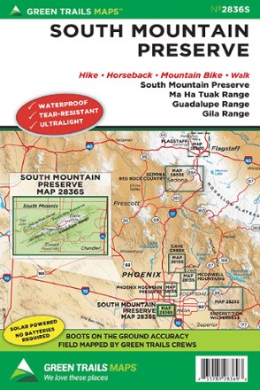
Map 2836S - South Mountain Preserve
Green TrailsCentered around the Guadalupe Range, the Green Trails South Mountain Preserve map (2836S) offers a beautifully detailed topographic guide to one of the largest city parks in the U.S.
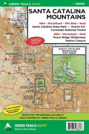
Map 2886S - Santa Catalina Mountains
Green TrailsCentered around Mount Lemmon, the Green Trails Santa Catalina Mountains map (2886S) offers a beautifully detailed topographic guide to this region just northeast of Tucson, Arizona.
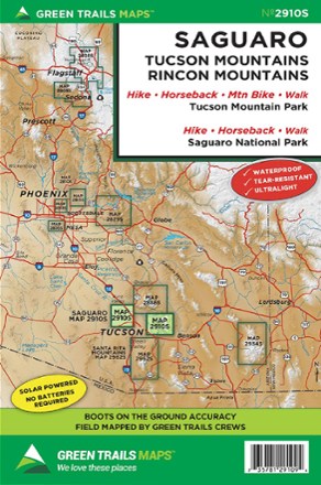
Map 2910S - Saguaro
Green TrailsIncluding both Tucson Mountain Park and Saguaro National Park, the Green Trails Saguaro map (2910S) offers a beautifully detailed topographic guide for outdoor recreation near Tucson, Arizona.

Map 2934S - Chiricahua Mountains
Green TrailsHike, bike and bird through the marvelous Chiricahua Mountains with Green Trails Map 2934S. Dark skies, rare birds, fascinating history and fantastic rock formations await.

Map 2962S - Santa Rita Mountains
Green TrailsCentered around Mt. Wrightson, the Green Trails Santa Rita Mountains map (2962S) offers a beautifully detailed topographic guide to this region of southern Arizona.