Media

Pacific Crest Trail Topographic Map Guide: Oregon South
National GeographicConvenient and lightweight, plus easier to read than folded paper maps, this Topographic Map from National Geographic follows the Oregon South portion of the Pacific Crest Trail.
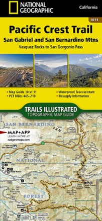
Pacific Crest Trail Topographic Map Guide: San Gabriel and San Bernardino Mountains
National GeographicFrom Vasquez Rocks to San Gorgonio Pass, this Trails Illustrated Pacific Crest Trail topographic map guide covers the scrublands and dry pine forests of the San Gabriel and San Bernardino mountains.
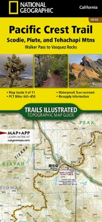
Pacific Crest Trail Topographic Map Guide: Scodie, Piute, and Tehachapi Mountains
National GeographicFrom Walker Pass to Vasquez Rocks, this Trails Illustrated Pacific Crest Trail topographic map guide covers the PCT through the southern reaches of the Sierra Nevada and into the Tehachapi Mountains.

Pacific Crest Trail Topographic Map Guide: Sierra Nevada North
National GeographicFrom Sierra Buttes to Devils Postpile, this Trails Illustrated Pacific Crest Trail topographic map guide covers the subalpine forests and volcanic rock formations of the northern Sierra Nevada.
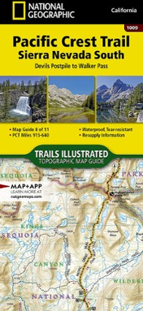
Pacific Crest Trail Topographic Map Guide: Sierra Nevada South
National GeographicFrom Devils Postpile to Walker Pass, this Trails Illustrated Pacific Crest Trail topographic map guide covers the forests, meadows and dry mountain ridges of the southern Sierra Nevada.
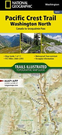
Pacific Crest Trail Topographic Map Guide: Washington North
National GeographicAs convenient and lightweight as folded paper maps but easier to read, this Topographic Map from National Geographic follows the Washington North portion of the Pacific Crest Trail.

Pacific Crest Trail Topographic Map Guide: Washington South
National GeographicLightweight, convenient and easier to read than folded paper maps, this Topographic Map from National Geographic follows the Washington South portion of the Pacific Crest Trail.

Pacific Crest Trail: Oregon and Washington - 8th Edition
Wilderness PressExplore the incredible scenery and vastness of the rugged Cascade mountain range with Pacific Crest Trail: Oregon and Washington as your comprehensive guide to this epic, well-traveled trail.
North America Hiking GuidebooksWashington and Oregon Hiking Guidebooks - DEPRECATED

Pacific Crest Trail: Southern California - 7th Edition
Wilderness PressVenturing north on the PCT from the Mexico border to Yosemite or planning a day hike somewhere in between? Pacific Crest Trail: Southern California offers a comprehensive look at what lies ahead.
North America Hiking GuidebooksCalifornia Hiking Guidebooks - DEPRECATED

Pacific Northwest Medicinal Plants
Timber PressAn indispensable guide to finding, identifying and using the region's wild medicinal plants, Pacific Northwest Medicinal Plants includes 120 plant profiles with color photographs and more.

Paddle Maryland
Author Bryan MacKay takes you on 22 exceptional canoe and kayak trips in Paddle Maryland, your guide to Chesapeake Bay, the Eastern Shore and the Free State's many streams, creeks, swamps and marshes.
North America Paddling GuidebooksNew England and Mid Atlantic Paddling Guidebooks - DEPRECATED
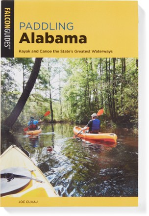
Paddling Alabama
FalconGuidesFrom the Appalachian highlands to the Gulf Coast, FalconGuides Paddling Alabama offers opportunities for kayakers, canoers, rafters, rowers and water lovers of every interest and ability-level.

Paddling Alaska
FalconGuidesGet off the beaten path! Paddling Alaska charts 36 streams, rivers and lakes within easy driving distance of population centers.
North America Paddling GuidebooksHawaii and Alaska Paddling Guidebooks - DEPRECATED
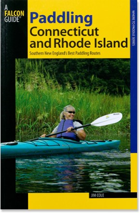
Paddling Connecticut and Rhode Island
FalconGuidesExplore the diverse natural wonders along 31 southern New England streams, rivers and coastal waterways with Paddling Connecticut and Rhode Island.
North America Paddling GuidebooksNew England and Mid Atlantic Paddling Guidebooks - DEPRECATED