Filters
No categories available
No brands available
Maps

Colorado Eagles Nest Wilderness Map
Outdoor Trail MapsColorado's 14ers come with a cost: crowds. But you can find plenty of craggy peaks, scrambles and wildlife in the Eagles Nest Wilderness. Design your own adventure with this detailed map.

Colorado Flat Tops Wilderness Map
Outdoor Trail MapsColorado's Flat Tops Wilderness spans a whopping 230,000 acres—the second largest wilderness area in the state. Explore its hundreds of miles of hiking trails with this handy topographic map.

Colorado Greenhorn Mountain/Spanish Peaks Wilderness Map
Outdoor Trail MapsExplore southern Colorado with this topographic map, covering the hiking trails in the Greenhorn Mountain Wilderness and Spanish Peaks Wilderness areas of southern Colorado.

Colorado Holy Cross Wilderness Map
Outdoor Trail MapsSpanning 122,000 acres of the northern Sawatch Range in central Colorado, the Holy Cross Wilderness has many trails to explore. Take this map as your reliable companion and get hiking.
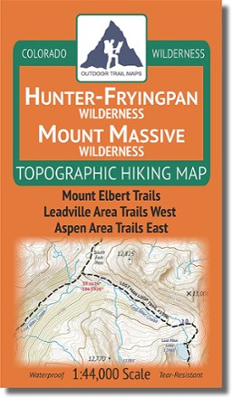
Colorado Hunter-Fryingpan/Mount Massive Wilderness Map
Outdoor Trail MapsDesign your own adventure with this handy topographic map, which covers all hiking trails in the Hunter-Fryingpan and Mount Massive wilderness areas in Colorado's Sawatch Range.

Colorado Indian Peaks/James Peak Wilderness Map
Outdoor Trail MapsWest of Boulder and east of Winter Park, the Indian Peaks and James Peak Wilderness areas span 95,000 acres across Colorado's Front Range. Use this topographic hiking map to design your own adventure.

Colorado La Garita Wilderness Map
Outdoor Trail MapsExplore Colorado's San Juans with this La Garita Wilderness topographic hiking map, covering all of the hiking trails in the 130,000-acre La Garita Wilderness area in southern Colorado.
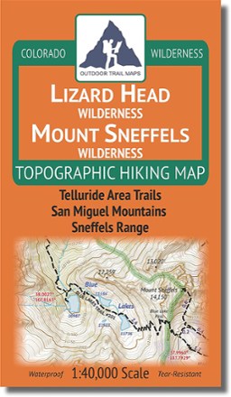
Colorado Lizard Head/Mount Sneffels Wilderness Map
Outdoor Trail MapsEnjoy the majesty of southwest Colorado's San Juan Mountains in the Lizard Head Wilderness and Mount Sneffels Wilderness areas. Design your own adventure with this detailed topographic map.
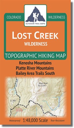
Colorado Lost Creek Wilderness Map
Outdoor Trail MapsPlot your own adventure with this Colorado Lost Creek Wilderness topographic hiking map, covering all the hiking trails in the 115,000-acre Lost Creek Wilderness just 40 miles southwest of Denver.
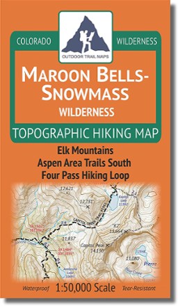
Colorado Maroon Bells-Snowmass Wilderness Map
Outdoor Trail MapsColorado's Maroon Bells–Snowmass Wilderness spans 182,000 acres across the Elk Mountains south of Aspen and north of Crested Butte. Use this topographic map to explore it to your heart's content.

Colorado Mount Evans Wilderness Map
Outdoor Trail MapsSpanning 73,000 acres of wilderness south of Georgetown, Colorado, this highly detailed hiking map of Mount Evans Wilderness takes you on a journey among craggy peaks, pristine lakes and dense woods.
Colorado National Monument Topographic Map
National GeographicThe Trails Illustrated Colorado National Monument topographic map details the recreation areas throughout Colorado's Grand Valley that surrounds the towns of Grand Junction, Fruita, Palisade and Loma.
Colorado Raggeds Wilderness Map
Outdoor Trail MapsExplore Colorado's Western Slope with this Raggeds Wilderness topographic hiking map, covering all of the hiking trails in the 65,000-acre Raggeds Wilderness west of Crested Butte.

Colorado Rawah Wilderness Map
Outdoor Trail MapsCovering 75,000 acres of wilderness south of Wyoming border, this highly detailed hiking map of Rawah Wilderness leads you along the trail to epic views of lakes, mountains and wide, open spaces.