Colorado Hunter-Fryingpan/Mount Massive Wilderness Map
Tech Specs
Specifications are maintained on Pack4Back GearDB (community edits and revision history). Values may differ from the manufacturer or your unit—verify before buying.
BrandOutdoor Trail Maps
Best UseHiking
Folded Dimensions7 x 4 inches
Unfolded Dimensions27 x 19 inches
Map Scale1:44,000
Double SidedYes
WaterproofYes
PublisherOutdoor Trail Maps
Copyright Year2018
State / ProvinceColorado
Description
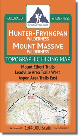
Design your own adventure with this handy topographic map, which covers all hiking trails in the Hunter-Fryingpan and Mount Massive wilderness areas in Colorado's Sawatch Range.
Features
- These 2 wilderness areas span 110,000 acres across the central Sawatch Range in Colorado, east of Aspen and west of Leadville
- Map covers Mount Elbert Trails, Leadville Area Trails West and Aspen Areas Trails East
- This rugged trail map was designed for on-trail use in the toughest outdoor conditions in a compact and easy-to-fold size—no more fumbling with huge, inaccurate maps
- Printed on waterproof and tear-resistant material
- Mileage provided for all trail segments
- GPS coordinates provided for trailheads and trail junctions