Books And Maps

Butterflies of the Mid-Atlantic
Quick Reference PublishingThis waterproof, pocket-size guide—Butterflies of the Mid-Atlantic—beautifully illustrates common and notable species of butterflies and their caterpillars ranging from New York to North Carolina.

Butterflies of the Rocky Mountains
Quick Reference PublishingThis waterproof, pocket-size guide—Butterflies of the Rocky Mountains—beautifully illustrates more than 80 species of butterflies and most of their caterpillars that can be found in this region.

Butterflies of the Southern Coastal Plain
Quick Reference PublishingThis waterproof, pocket-size guide—Butterflies of the Southern Coastal Plain—beautifully illustrates more than 80 species of butterflies and their caterpillars.

C is for Camping
Featuring a colorful midcentury illustration style, C is for Camping engages toddlers and parents alike with delightful array of scenes and details to discover in and around the campground.

C-Thru Universal Transverse Mercator (UTM) Grid Reader
Precisely plot your location (or destination) on a map with the transparent and easy to read Westcott C-Thru Universal Transverse Mercator (UTM) Grid Reader.
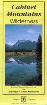
Cabinet Mountains Wilderness Map
Explore Montana's 35-mile range of glaciated peaks and valleys with the help of the official Forest Service map of the Cabinet Mountains Wilderness, featuring the 8,738-foot summit of Snowshoe peak.

Cache La Poudre / Big Thompson Topographic Map
National GeographicOutdoor enthusiasts looking for opportunities just east of Rocky Mountain National Park will find the Trails Illustrated Cache La Poudre / Big Thompson topographic map an essential travel companion.
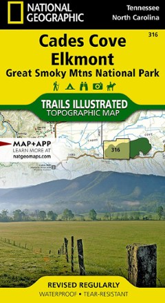
Cades Cove / Elkmont Topographic Map
National GeographicThe Trails Illustrated Cades Cove / Elkmont topographic map covers the western part of Great Smoky Mtns. National Park, from Sugarlands to Chilhowee Mountain and Lake.
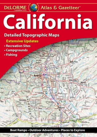
California Atlas and Gazetteer
DeLormeWhether you're visiting the many state or national parks or taking a drive along the coast, plan your trip to the Golden State with the detailed maps of the DeLorme California Atlas and Gazetteer.

California Delta Adventure Guide
Franko's MapsDesigned for boaters, anglers and other delta visitors, the California Delta Adventure Guide serves as map and guide to the San Joaquin and Sacramento Rivers.

California Desert National Parks Map Pack
National GeographicCombining 3 detailed maps and info, the Trails Illustrated California Desert National Parks map pack is perfect for your next trip to the national parks in the Mojave Desert region of California.
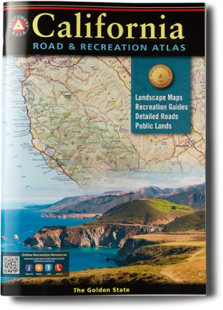
California Road & Recreation Atlas - 11th Edition
Benchmark MapsFrom mountains and deserts to the seemingly endless Pacific Coast, California is rich in geographic diversity and beauty. Go explore with the updated Benchmark Maps California Road & Recreation atlas.
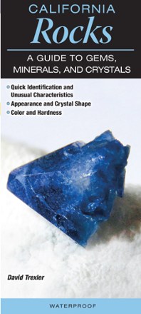
California Rocks: A Guide to Gems, Minerals and Crystals
Quick Reference PublishingDiscover something dazzling with California Rocks, a pocket-size guide that helps you easily identify the rocks and minerals you're bound to stumble across on any rock-hunting adventure.
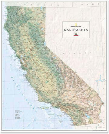
California Wall Map - Tubed
National GeographicThe National Geographic California wall map offers a colorful visualization of the Golden State's physical geography, forests and deserts. Stunning shaded relief depicts mountains and ocean depths.