Books And Maps

Pennsylvania Off the Beaten Path - 13th Edition
Globe Pequot PressTired of the same old tourist traps? Whether you're a visitor or a local looking for something different, let Pennsylvania Off the Beaten Path show you the Keystone State you never knew existed.
Camping and Hiking GuidebooksNorth America Hiking Guidebooks
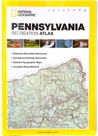
Pennsylvania Recreation Atlas
National GeographicThe National Geographic Pennsylvania Recreation Atlas offers detailed topographic maps, complete road networks and extensive recreation resources for the Keystone State.
North America MapsNew England and Mid Atlantic Maps - DEPRECATED

Peppers: From Sweet to Heat
Quick Reference PublishingPacked with health benefits, color and flavor, peppers are a great addition to any garden or table. Get to know the varieties with Peppers: From Sweet to Heat, a great guide for growers and eaters.
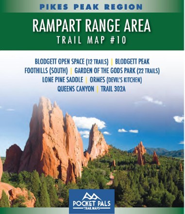
Pikes Park Region: Rampart Range Area Trail Map #10
Pocket Pals Trail MapsExplore the trails of Pike National Forest—including 34 in Blodgett Open Space and Garden of the Gods Park—with this pocket-sized and detailed Pikes Pea Region: Rampart Range Area Trail Map #10.
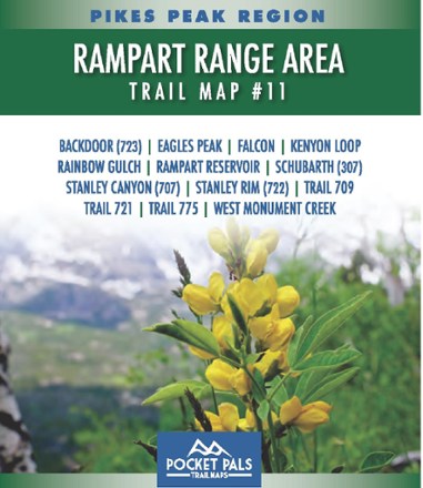
Pikes Park Region: Rampart Range Area Trail Map #11
Pocket Pals Trail MapsExplore the trails of the Rampart Range in Colorado, located near the U.S. Air Force Academy, with this pocket-sized, durable and detailed Pikes Peak Region: Rampart Range Area Trail Map #11.

Pikes Peak / Canon City Topographic Map
National GeographicThe Trails Illustrated Pikes Peak / Canon City topographic map offers detailed coverage of the highest summit in the southern Front Range of the Rocky Mountains.

Pikes Peak Region: Gold Camp Area Trail Map #1
Pocket Pals Trail MapsExplore the trails of Pike National Forest in Colorado with this pocket-sized, durable and detailed Pikes Peak Region: Gold Camp Area Trail Map #1.

Pikes Peak Region: Gold Camp Area Trail Map #2
Pocket Pals Trail MapsExplore the trails of Pike National Forest in Colorado with this pocket-sized, durable and detailed Pikes Peak Region: Gold Camp Area Trail Map #2.
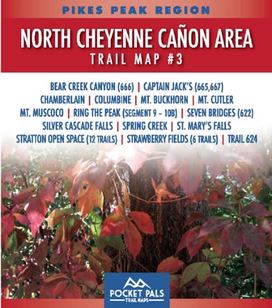
Pikes Peak Region: North Cheyenne Canon Area Trail Map #3
Pocket Pals Trail MapsExplore the trails of North Cheyenne Canon Park and Pike National Forest with this pocket-sized, durable and detailed Pikes Peak Region: North Cheyenne Canon Area Trail Map #3.
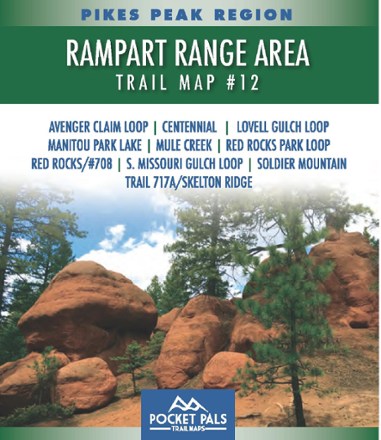
Pikes Peak Region: Pikes Peak Area Trail Map #12
Pocket Pals Trail MapsDurable and pocket-sized, the Pocket Pals Pikes Peak Area Trail Map #12 covers trails located in the vicinity of Woodland Park in Teller County, including many trails in the Pike National Forest.
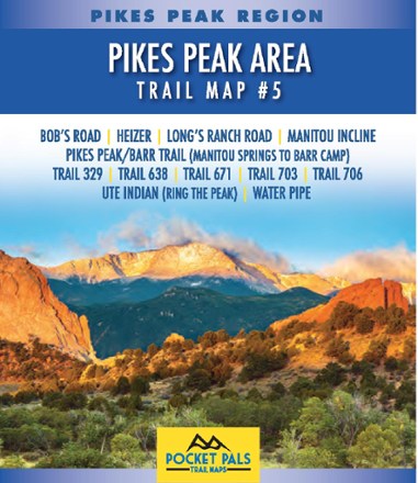
Pikes Peak Region: Pikes Peak Area Trail Map #5
Pocket Pals Trail MapsExplore the trails of Pike National Forest from just west of Manitou Springs to the first half of Barr Trail with the pocket-size yet detailed Pikes Peak Region: Pikes Peak Area Trail Map #5.
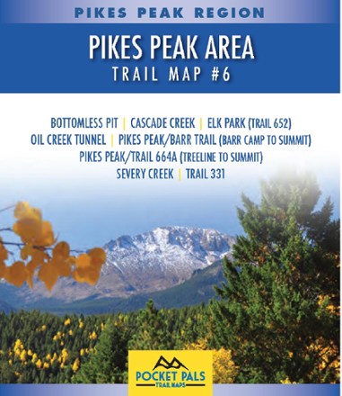
Pikes Peak Region: Pikes Peak Area Trail Map #6
Pocket Pals Trail MapsDurable and pocket-sized, the Pocket Pals Pikes Peak Area Trail Map #6 covers trails located around the summit of Pikes Peak, including the Barr Trail from Barr Camp to the summit.
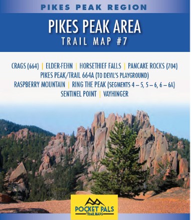
Pikes Peak Region: Pikes Peak Area Trail Map #7
Pocket Pals Trail MapsDurable and pocket-sized, the Pocket Pals Pikes Peak Area Trail Map #7 covers trails located on the western flank of Pikes Peak, straight south of Divide, Colorado.
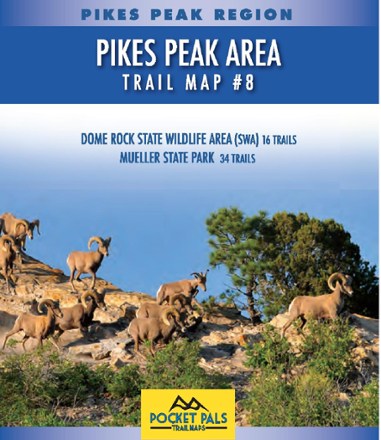
Pikes Peak Region: Pikes Peak Area Trail Map #8
Pocket Pals Trail MapsDurable and pocket-size, the Pocket Pals Pikes Peak Area Trail Map #8 covers trails to the west of Pikes Peak, including 34 trails in Mueller State Park and 16 trails in Dome Rock State Wildlife Area.