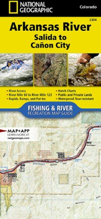
Arkansas River: Salida to Canon City Fishing and River Recreation Map Guide
National GeographicShowing every turn and rapid, the National Geographic Arkansas River: Salida to Canon City Fishing and River recreation map guide is the ideal resource for enjoying the Arkansas River in Colorado.
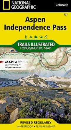
Aspen / Independence Pass Topographic Map
National GeographicThe Trails Illustrated Aspen / Independence Pass topographic map offers clear, detailed coverage of Aspen and Independence Pass in Colorado.

Aspen Local Trails Map & Guide
National GeographicWhere do the locals go when they want to take a short hike with the family or to push themselves with a heart-pounding trip? The National Geographic Aspen Local Trails map answers this question.

Austria Adventure Travel Map
National GeographicA valuable tool for travelers, the National Geographic Austria Adventure travel map will help you discover and explore the many natural attractions and activities of this remarkable country.

Baja Adventure Travel Map Pack
National GeographicWith stunning detail, the National Geographic Baja Adventure Travel map pack is the perfect companion for anyone who wants to travel in the Mexican states of Baja California and Baja California Sur.
Baja Adventure Travel Map Pack
National GeographicWith stunning detail, the National Geographic Baja Adventure Travel map pack is the perfect companion for anyone who wants to travel in the Mexican states of Baja California and Baja California Sur.

Baxter State Park Topographic Map
National GeographicThe Trails Illustrated Baxter State Park Topographic Map combines unmatched detail with helpful information to offer an invaluable tool for making the most of your visit.
North America MapsNew England and Mid Atlantic Maps - DEPRECATED
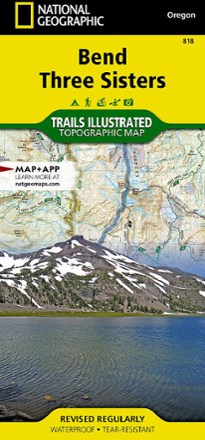
Bend / Three Sisters Topographic Map
National GeographicThe Trails Illustrated Bend / Three Sisters topographic map makes it easy to explore the mountains and wilderness in this gorgeous part of central Oregon.
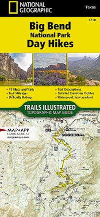
Big Bend National Park Day Hikes Topographic Map
National GeographicOffering 18 maps, each featuring its own hike—all ranging in difficulty and distance—the National Geographic Big Bend National Park Day Hikes Topographic map helps you select the best trail for you.
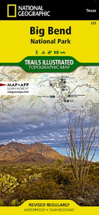
Big Bend National Park Trail Map
National GeographicThis Trails Illustrated folded map offers comprehensive coverage of Big Bend National Park in Texas.
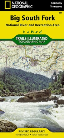
Big South Fork National Recreation Area Trail Map
National GeographicThis National Geographic Trails Illustrated folded map offers comprehensive coverage of Kentucky's Big South Fork National River and Recreation Area.
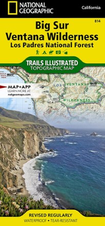
Big Sur / Ventana Wilderness Topographic Map
National GeographicThe Trails Illustrated Big Sur / Ventana Wilderness Topographic Map combines unmatched detail with helpful info to make the most of your visit to this remarkable section of California's coastline.
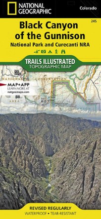
Black Canyon of the Gunnison Topographic Map
National GeographicThe Trails Illustrated Black Canyon of the Gunnison topographic map delivers unmatched detail and valuable information to assist you in exploring this breathtaking wilderness.
Black Hills Northeast Trail Map
National GeographicThis detailed Trails Illustrated map offers comprehensive coverage of the northeast Black Hills in South Dakota.