Nouveautés
Produits publics récemment ajoutés (avec photos), du plus récent au plus ancien — y compris imports automatiques et contributions éditoriales.
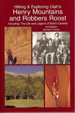
Hiking and Exploring Utah's Henry Mountains and Robbers Roost - 3rd Edition
This 3rd edition combines history with a hiking and travel guide to Utah's Henry Mountains and Robbers Roost Country, including many desert adventures and slot canyon hikes.
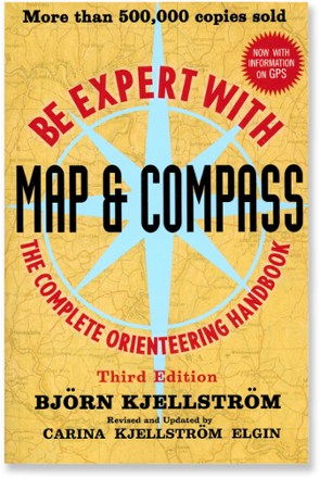
Be Expert with Map and Compass - 3rd Edition
First published in 1955, Be Expert with Map and Compass is the classic map and compass instruction book.

Yosemite Sport Climbs and Top Ropes
Yosemite Sport Climbs and Top Ropes includes over 200 of the best top ropes and bolted sport climbs in Yosemite Valley.
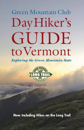
Green Mountain Club Day Hiker's Guide to Vermont - 6th Edition
Discover high peaks, lakes, ponds, forests and natural historical areas with the Green Mountain Club Day Hiker's Guide to Vermont. Now in its 6th edition, this guide details more than 200 day hikes.

Bandelier-Los Alamos Map
See some of New Mexico's most breathtaking scenery with Dharma Maps Bandelier–Los Alamos map, a waterproof, pocket-size design accurately detailed in full topographic color.
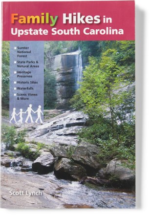
Family Hikes in Upstate South Carolina
With 20 hiking adventures for all ages, Family Hikes in Upstate South Carolina helps you explore the northwest corner of the state, famous for its waterfalls, scenic views and rich history.
Backpacking Overnights: North Carolina Mountains, South Carolina Upstate
Backpackers and weekend warriors will love Backpacking Overnights: North Carolina Mountains, South Carolina Upstate, a guidebook featuring 50 great routes that range from 3 to more than 30 miles.

The American River Insider's Guide to the Recreation, Ecology and Cultural History of the North, Middle and South Forks - 3rd Edition
Thoroughly researched and updated for its 3rd edition, the Insider's Guide to the American River is your guide to recreation, ecology and cultural history of the river's North, Middle and South forks.
Griffith Park! Map
The Griffith Park! map from Green Planet Maps makes it easy to explore the trails, zoo, observatory, attractions and activities of this beloved and iconic Southern California park.
Hiking Atlanta's Hidden Forests
You don't have to go far to find a great adventure—in town or out. Discover 60 great day hikes within 30 miles of downtown Atlanta with this guidebook, Hiking Atlanta's Hidden Forests.

A Hiker's Guide to the Santa Barbara Front Country
A topographic map with local streets, hiking trails and major attractions all well marked, A Hiker's Guide to Santa Barbara Front Country is your guide to recreation in and around this iconic city.

Hiking the Wasatch - 3rd Edition
Hikers of all experience levels can experience the rugged terrain of the Wasatch Mountains with Hiking the Wasatch, an updated guidebook filled with detailed trail descriptions, maps and more.

Yosemite Valley Map
Venture into the heart of Yosemite National Park with Tom Harrison Cartography Yosemite Valley map and explore the many trails across the valley floor that warrant some spectacular views.
Trekking The John Muir Trail
Ready to explore one of the world's most spectacular trails? Trekking The John Muir Trail provides essential information to help you cover 216 miles through California's High Sierras.
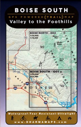
Boise South: Valley to the Foothills Map
Leading from the Boise valley to the foothills, Boise South: Valley to the Foothills map sets the course to rugged adventures with well-marked trailheads and numbered trails in a waterproof design.

Bicycle Texas: The Lone Star State's Best Rides
Written by an avid cyclist who believes Texas and its rugged beauty are best experienced by bike, Bicycle Texas highlights some of the best rides within the state's 270,000 square miles.
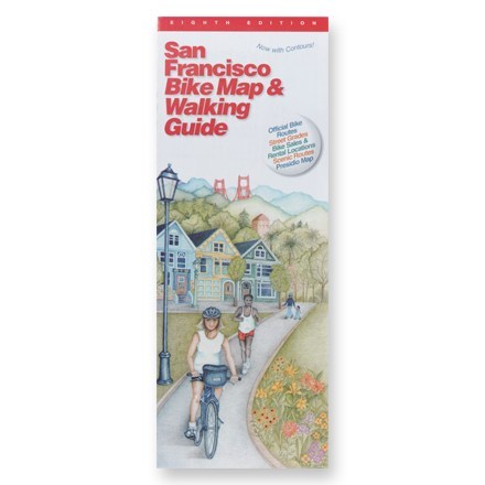
San Francisco Bike Map and Walking Guide
Navigate easily around this pedestrian-friendly city with this map that shows the best routes and includes elevation grades.
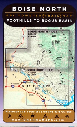
Boise North: Foothills to Bogus Basin Map
Venture to the wilderness north of Boise with Boise North: Foothills to Bogus Basin map, a waterproof map built for rugged adventures with well marked trailheads and numbered trails.
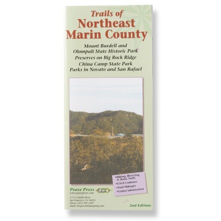
Trails of Northeast Marin County Map - 2nd Edition
Travel the trails and byways of parks throughout this scenic section of Marin County.

Texas 107 Best Walks
Whether you live in the state or are just driving through, Texas 107 Best Walks is your guide to some of the best local hiking places in The Lone Star State.
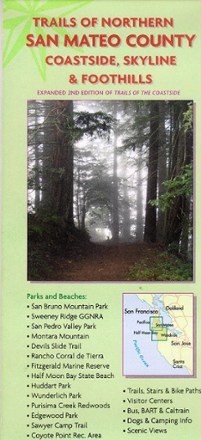
Trails of Northern San Mateo County Map
Extending from Pacifica to Half Moon Bay and Woodside, Trails of Northern San Mateo County sets your course to numerous trails and scenic views along the coastline, inland foothills and mountains.
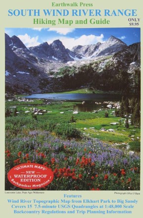
Hiking Map and Guide - South Wind River Range
Printed on waterproof plastic, this topographic map covers Elkhart Park to Big Sandy with backcountry regulations and trip planning information.
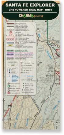
Santa Fe Explorer Trail Map
Discover the splendorous scenery and recreational possibilities around northern New Mexico with the Dharma Maps Santa Fe Explorer trail map, filled with plentiful trails and roads in rich topo detail.
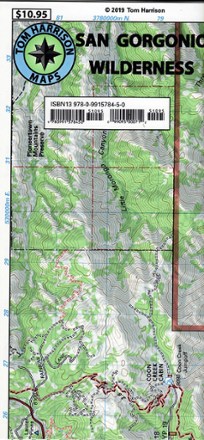
San Gorgonio Wilderness Map
Discover a popular Southern California hiking destination with the San Gorgonio Wilderness map from Tom Harrison Maps, the only guide you will need for a day or overnight trip.