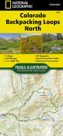


Colorado Backpacking Loops North Topographic Map Guide
Tech Specs
Характеристики ведутся в Pack4Back GearDB (сообщество и история правок). Возможны расхождения с производителем или вашим экземпляром.
BrandNational Geographic
Best UseBackpacking
State / ProvinceColorado
Folded Dimensions23.5 × 10.8 cm
Unfolded DimensionsUnavailable
Map Scale1:40,680; 1:63,360
Double SidedYes
WaterproofYes
PublisherNational Geographic
Copyright Year2018
Map Number1304
Description
The Trails Illustrated Colorado Backpacking Loops North topographic map guide covers a dozen loops throughout northern Colorado, selected for their diversity, remoteness and inspiring vistas.
Ключевые факты
- Each page of the guide includes a detailed map of the trail with directions to the trailhead from the nearest major town as well as a trail profile with mileages
- GPS coordinates are provided for strategic points along the trail to help with navigation
- Trails are organized by the number of nights backpackers can expect to be in the backcountry, from 1 to more than 3
- Trails range from 8 to 25 miles long with elevation gains from 2,000 to over 7,000 ft.
- Trail descriptions give an overview of the natural features you'll encounter along the way as well as the length, total elevation gain and nearest town to each trailhead
- More convenient and easier to use than folded maps, but just as compact and lightweight, map guide booklets are printed on "Backcountry Tough" waterproof, tear-resistant paper
- A full UTM grid is printed on the map to aid with GPS navigation