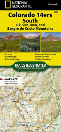


Colorado 14ers South Topographic Map Guide
Tech Specs
Характеристики ведутся в Pack4Back GearDB (сообщество и история правок). Возможны расхождения с производителем или вашим экземпляром.
BrandNational Geographic
Best UseHiking
Folded Dimensions23.9 × 10.8 cm
Map Scale1:63,360
Double SidedYes
WaterproofYes
PublisherNational Geographic
Copyright Year2017
State / ProvinceColorado
Map Number1303
Description
With details for the 14ers of the Elk, San Juan and Sangre de Cristo ranges, the Trails Illustrated Colorado 14ers South topographic map guide booklet is the perfect peakbagger's companion.
Ключевые факты
- More convenient and easier to use than folded maps, this map guide booklet is printed on waterproof, tear-resistant paper and bound with stainless-steel staples
- Offers trail mileage, total elevation gain/loss and trailhead/junction elevations, plus difficult ratings and points of reference along the route
- Includes 2WD and 4WD directions to trailheads for standard routes recommended by land managers in an effort to preserve the fragile alpine environment of these peaks
- Full UTM grids aid with GPS navigation
- Contains 44 pgs.; weighs 3 oz.