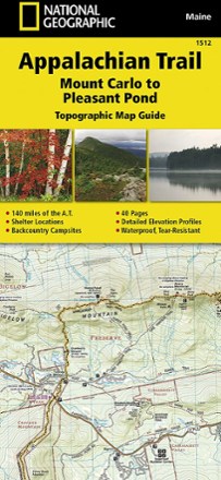


Appalachian Trail: Mount Carlo to Pleasant Pond Topographic Map Guide
Tech Specs
Характеристики ведутся в Pack4Back GearDB (сообщество и история правок). Возможны расхождения с производителем или вашим экземпляром.
Description
Bring along the detailed National Geographic Mount Carlo to Pleasant Pond topographic map guide when you traverse the southern Maine section of the Appalachian Trail.
Ключевые факты
- Unique, user-friendly unique booklet format features topographic maps centered on the trail, page by page, mile by mile
- Helpful trail profiles show the distance between shelters, camping areas, and trail access points
- Includes resupply locations, key points of interest, safety guidelines, local contact information, area history and more
- 1:63,360 scale
- Printed in the USA on durable, lightweight, waterproof and tear-resistant material designed to withstand all weather conditions
- Dimensions: 4.25 x 9.25 in.
- National Geographic Maps; copyright 2015