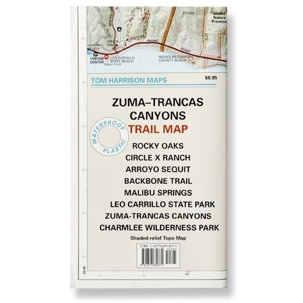
Malibu Creek State Park Trail Map
Tech Specs
Характеристики ведутся в Pack4Back GearDB (сообщество и история правок). Возможны расхождения с производителем или вашим экземпляром.
Description
Shaded-relief topo map of Malibu Creek, Castro Crest, Corral Canyon, Backbone Trail, Solstice Canyon and Paramount Ranch.
Features
- Features color-coded symbols and trails, mileages between trail junctions, latitude and longitude, contour lines, UTMs and up-to-date elevations
- Measures 24 x 18 inches; folds to 8 x 4.5 inches; single-sided
- 1:31,680 scale; contour interval 50 feet; 1 inch represents 0.5 mile
- Printed on waterproof plastic
- Tom Harrison Maps; 2005