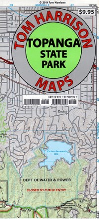
Topanga State Park Map
Tech Specs
Характеристики ведутся в Pack4Back GearDB (сообщество и история правок). Возможны расхождения с производителем или вашим экземпляром.
Best UseHiking
Folded Dimensions20.3 × 11.4 cm
Unfolded Dimensions66.0 × 43.2 cm
Map Scale1:31,680
Double SidedYes
WaterproofYes
PublisherTom Harrison Cartography
Copyright Year2014
State / ProvinceCalifornia
Description
Discover a scenic jewel of Southern California with the Tom Harrison Cartography Topanga State Park Map, a full-color shaded-relief topographic map on high-quality tear- and water-resistant paper.
Ключевые факты
- Hidden in plain sight, the Santa Monica Mountains offer easy access to surprisingly wild places with hundreds of miles of trails
- This map also includes the many private property boundaries that hikers should respect by staying off, avoiding trepassing
- Includes the Topanga, Will Roger, Tuna Canyon, Backbone Trail, Red Rock Canyon and Temescal Gateway areas
- Full-color shaded-relief topographic map on high-quality tear- and water-resistant paper; folds up easily and is easy to read in all conditions
- Tom Harrison maps include color-coded symbols and trails, mileage between trail junctions, UTM grids, contour lines, vegetation and elevations at trail junctions