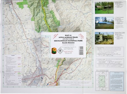


Appalachian Trail Map: AT and Other Trails in Shenandoah National Park South District
Tech Specs
Характеристики ведутся в Pack4Back GearDB (сообщество и история правок). Возможны расхождения с производителем или вашим экземпляром.
BrandPATC
Best UseHiking
State / ProvinceVirginia
Folded Dimensions17.8 × 10.2 × 0.3 cm
Unfolded Dimensions81.3 × 54.6 cm
Map Scale1:63,360
Double SidedYes
WaterproofYes
PublisherPotomac Appalachian Trail Club
Copyright Year2013; revised 2014
Map Number11
Description
This map covers sections 6, 7, 8 and 9 of the Appalachian Trail—and all side trails—in Shenandoah National Park's South District.
Ключевые факты
- Printed on water-resistant and tear-resistant synthetic stock in six colors for excellent detail and durability
- Five-kilometer full UTM grid permits easy plotting or extraction of coordinates for use with GPS units
- On the back side are detailed enlargements of the Loft Mountain, Blackrock and Rockfish Gap areas, plus text on Shenandoah National Park
- Portrays side trails and forest access routes from adjoining communities to the Appalachian Trail
- Includes an elevation profile of the Appalachian Trail between Swift Run Gap and Rockfish Gap
- Scale of 1:63,360; contour intervals of 100 feet
- Map measures 32 x 21.5 inches and folds to 7.5 x 4 inches
- Potomac Appalachian Trail Club; copyright 1996, revised 2001