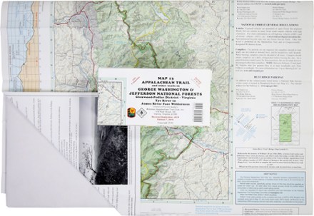
Appalachian Trail Map: AT and Other Trails in George Washington & Jefferson National Forests
Tech Specs
Характеристики ведутся в Pack4Back GearDB (сообщество и история правок). Возможны расхождения с производителем или вашим экземпляром.
BrandPATC
Best UseHiking
State / ProvinceVirginia
Folded Dimensions20.3 × 10.2 × 0.3 cm
Unfolded Dimensions91.4 × 61.0 cm
Map Scale1:62,500
Double SidedYes
WaterproofYes
PublisherPotomac Appalachian Trail Club
Copyright Year2013; revised 2015
Map Number13
Description
This map covers sections 17 to 22 of the Appalachian Trail in Virginia, from Virginia Tye River to the James River Face Wilderness in the Glenwood-Pedlar District.
Ключевые факты
- Shows 143 miles of trails including 47 miles of the Appalachian Trail from Tye River (VA-65) southward to the James River (US-501)
- Five-kilometer full UTM grid permits easy plotting or extraction of coordinates for use with GPS units
- Supplies text regarding George Washington National Forest and the Blue Ridge Parkway
- Portrays side trails and forest access routes from adjoining communities to the Appalachian Trail
- Printed on water-resistant and tear-resistant synthetic stock in seven colors for excellent detail and durability
- Includes an elevation profile of the Appalachian Trail for the sections covered
- Scale of 1:62,500; contour intervals of 100 feet
- Map measures 32 x 24 inches and folds to 8 x 4 inches
- Potomac Appalachian Trail Club; copyright 1995, revised 1999