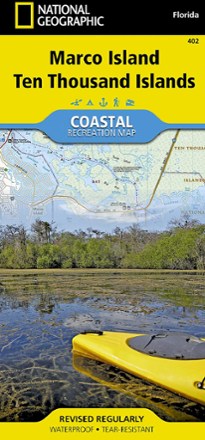


Marco Island and Ten Thousand Islands Coastal Recreation Map
Tech Specs
Характеристики ведутся в Pack4Back GearDB (сообщество и история правок). Возможны расхождения с производителем или вашим экземпляром.
BrandNational Geographic
Best UsePaddling
State / ProvinceFlorida
Folded Dimensions23.5 × 10.8 cm
Unfolded Dimensions95.9 × 64.8 cm
Map Scale1:40,000
Double SidedYes
WaterproofYes
PublisherNational Geographic
Copyright Year2013
Map Number402
Description
Let the National Geographic Marco Island and Ten Thousand Islands Coastal Recreation Map guide you, both on land and on water, in this popular recreation area just outside of Everglades National Park.
Ключевые факты
- Map shows Rookery Bay National Estuarine Research Reserve, Marco Island and Beach, Ten Thousand Islands National Wildlife Refuge and Chokoloskee Bay
- Also shows Seminole and Fakahatchee Strand Preserve State Parks, Cape Romano Shoals and the northern extent of Everglades National Park and Marjory Stoneman Douglas Wilderness
- Includes parts of the Florida Circumnavigational Saltwater Paddling Trail and Wilderness Waterway Trail as well as a complete road network from East Naples to Everglades City
- Recreation highlights include campgrounds, RV campgrounds, boat launches, beaches, golf courses, dive sites and areas for canoeing, picnicking, swimming and wildlife viewing
- A marina guide provides location, contact information, maximum boat sizes and various amenities; additional marine aids include day beacons, lights, buoys and sounding
- Provides QR codes for current weather information and U.S. Coast Guard updates
- Printed on durable synthetic paper, making the map waterproof, tear-resistant and tough; capable of withstanding the rigors of international travel
- A full UTM grid is printed on the map to aid with GPS and app navigation