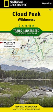


Cloud Peak Wilderness Map
Tech Specs
Характеристики ведутся в Pack4Back GearDB (сообщество и история правок). Возможны расхождения с производителем или вашим экземпляром.
BrandNational Geographic
Best UseHiking
Folded Dimensions10.8 × 23.5 cm
Unfolded Dimensions95.9 × 64.8 cm
Map Scale1:45,000
Double SidedYes
WaterproofYes
PublisherNational Geographic
Copyright Year2020
State / ProvinceWyoming
Map Number720
Description
Discover the wildest section of the Bighorn Mountains with this Cloud Peak Wilderness map from National Geographic Trails Illustrated. It offers vivid detail and a waterproof, rugged construction.
Ключевые факты
- Includes all 200,000 acres of the Cloud Peak Wilderness and parts of the surrounding Bighorn National Forest
- Includes key areas of interest such as Highland and Coffeen parks, Meadowlark Lake, Upper and Lower Paint Rock Lakes, Kearny Lake Reservoir, and Cloud Peak Skyway
- Details on trail mileages, trail use and seasonal closures will assist in choosing the path that's right for you
- Recreation features are clearly marked, including campgrounds, trailheads, boat launches, ski areas and other points of interest
- Features contour lines and elevations, labeled peaks and passes and hundreds of water features
- Also includes color-coded boundaries between private land, national forest and wilderness areas and no camp fire zones
- Every Trails Illustrated map is printed on "Backcountry Tough" waterproof, tear-resistant paper
- A full UTM grid is printed on the map to aid with digital navigation