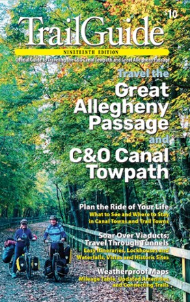

TrailGuide - 19th edition
Tech Specs
Best UseCycling
State / ProvincePennsylvania
FormatPaperback
Dimensions7.5 x 4 inches
Author(s)Great Allegheny Passage Conservancy
PublisherGAP Conservancy
Number of Pages232
ISBN-139780998653464
Copyright Year2022
SustainabilityContains recycled materials
Description
The official guide to visiting the C&O Canal Towpath and Great Allegheny Passage, the 19th edition of TrailGuide by Allegheny Trail Alliance has the details you need to plan your bikepacking journey.
Features
- TrailGuide is packed with mile-by-mile trail descriptions, town maps and directories, and itineraries for day trips, weekends and thru-rides
- Includes the official maps for the Great Allegheny Passage (GAP) and C&O Canal Towpath, printed on weatherproof paper and removable from the rest of the book
- Maps are suitable for detailed trip planning, and include parking, available amenities, major highways, trail towns, campgrounds, waterways and connecting trails
- Maps fold from a 24.75 x 7.625 in. size to fit in your pocket
- Includes suggestions for getting to and from the GAP and C&O Canal Towpath from shuttle services to Amtrak's Capitol Limited
- Guide is comprehensive but still fits nicely into a trunk-mounted rack or in the outside sleeve of a backpack
- Includes a mileage and elevation chart and a plan-your-trip checklist
- Also includes town profiles, maps, directories, photo-op suggestions and parking and trailhead listings