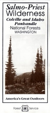

Salmo-Priest Wilderness Map
Tech Specs
Specifications are maintained on Pack4Back GearDB (community edits and revision history). Values may differ from the manufacturer or your unit—verify before buying.
Description
Explore this remote area that's home to a massive old-growth forest—not to mention numerous woodland caribou, grizzlies and gray wolves—with the Salmo-Priest Wilderness map.
Features
- U-shaped Salmo-Priest Wilderness is home to 43,348 acres of remote, rugged beauty in the Selkirk Mountains of northeastern Washington
- Its most prominent features are 2 long ridges running southwest to northeast, connected near their northern ends by a ridge crowned by the 6,828-foot Salmo Mountain
- Highlights recreation opportunities such as trails, campgrounds, boat launches and more; includes color-coded land ownership boundaries (federal, state and private)
- Includes official U.S. Forest Service district office contact information to check local conditions as well as township and range section numbers