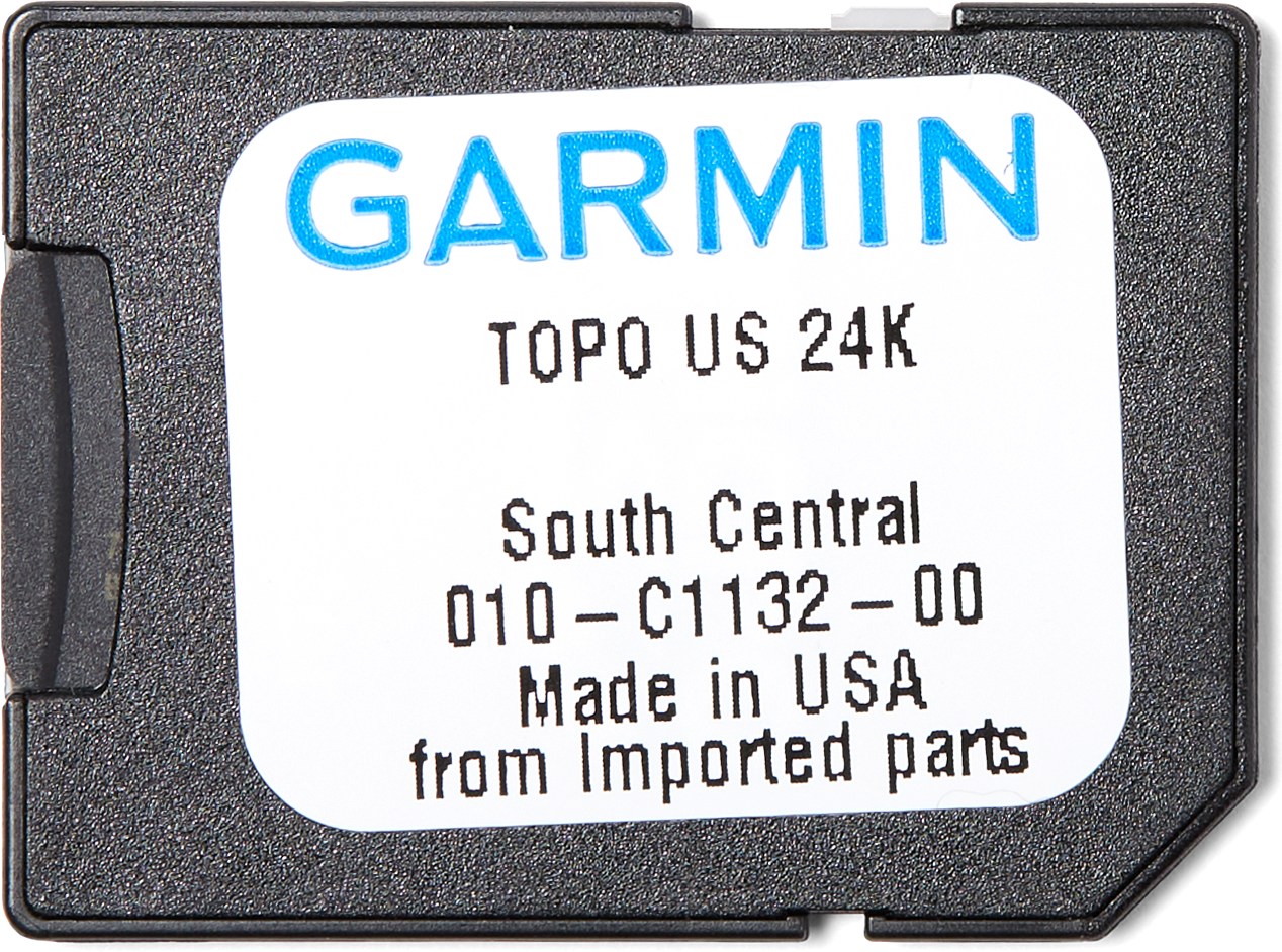
Topo U.S. 24K South Central microSD Card
Tech Specs
Specifications are maintained on Pack4Back GearDB (community edits and revision history). Values may differ from the manufacturer or your unit—verify before buying.
Description
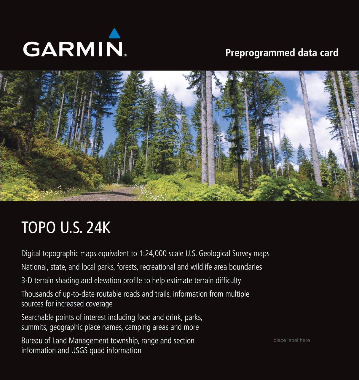
The Garmin Topo U.S. 24K South Central microSD card expands topographic coverage of the southern central region for your Garmin GPS receiver so you can plan and review your adventures in detail.
Features
- Includes coverage for Arkansas, Kansas, Missouri, Oklahoma and Texas
- Routable road content and searchable business points of interest provided by HERE
- Routable dirt roads and trails, including metropolitan and rural areas
- Searchable points of interest, including food and drink, lodging, parks, trails, camping, fuel and more
- Dense contour intervals generated from elevation data approximating the 24K USGS quad maps
- Elevation profile of routes and tracks on compatible units helps you estimate terrain difficulty
- National, state and local parks, forests, recreational and wildlife area boundaries
- Detailed lakes, rivers and streams plus geographic place names such as summits, trailheads, towns and natural features
- Enhanced shoreline equivalent to 24K
- Create point-to-point routes on compatible units
- USGS quad names and information available when reviewing a location
- Built-in DEM (digital elevation model) data and 3-D terrain shading on compatible units