Paper Maps
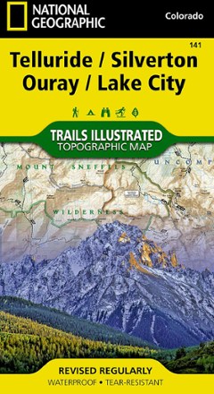
Telluride/Silverton/Ouray/Lake City Trail Map
National GeographicThis colorful Illustrated folded map offers detailed coverage of trails around Telluride and Lake City.

Teton Range Core Trails Map
Beartooth PublishingDedicated exclusively to the central and southern Teton Range, the Beartooth Publishing Teton Range Core Trails map is your guide to one of the best hiking destinations in the U.S.
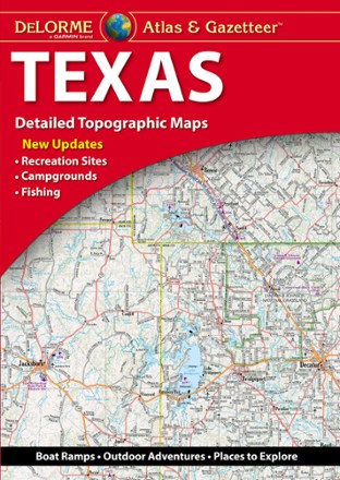
Texas Atlas and Gazetteer
DeLormeFrom the Gulf Coast to the Hill Country to the Panhandle Plains, the DeLorme Texas Atlas and Gazetteer provides detailed maps so you can discover and explore every corner of the Lone Star State.
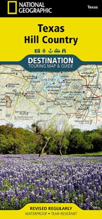
Texas Hill Country Destination Touring Map and Guide
National GeographicThe National Geographic Texas Hill Country Destination Touring map and guide strikes a balance between map and guidebook—perfect for touring this culturally and geographically unique region.
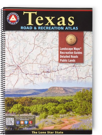
Texas Road & Recreation Atlas - 2nd Edition
Benchmark MapsConfidently explore the wide open spaces of the Lone Star State with the 2nd edition of the Texas Road & Recreation Atlas. The detailed maps are great for planning day outings or extended road trips.

The Blue Wall Trail Map
Pisgah Map CoDiscover the rugged natural beauty of upstate South Carolina with the Blue Wall trail map, highlighting many great hiking, mountain biking and camping opportunities across the region.
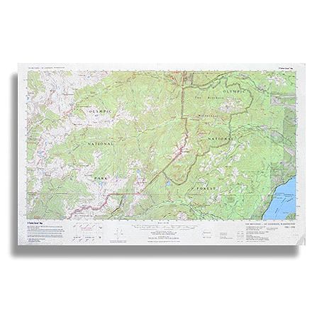
The Brothers - Mt. Anderson Map
Custom CorrectTopographic trail map of The Brothers Wilderness and the adjacent part of Olympic National Park west to Mt. Anderson and O'Neil Pass
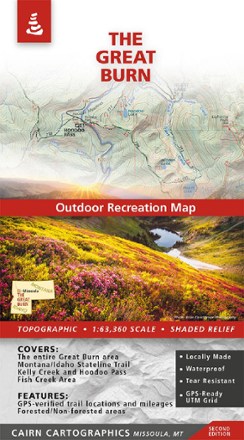
The Great Burn Map - 2nd Edition
Cairn CartographicsMade and researched locally, the 2nd edition of The Great Burn Map covers the area on the Montana/Idaho border just west of Missoula including Kelly Creek, Hoodoo Pass and the Fish Creek area.
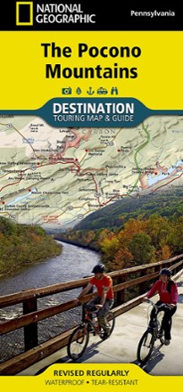
The Pocono Mountains Destination Touring Map & Guide
National GeographicThe National Geographic Pocono Mountains destination touring map and guide combines gorgeous shaded relief with detailed info for exploring the wooded hills and valleys of northeastern Pennsylvania.
North America MapsNew England and Mid Atlantic Maps - DEPRECATED
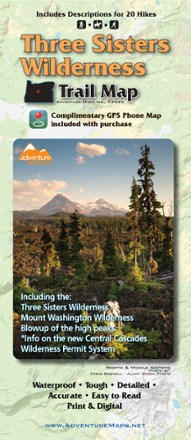
Three Sisters Wilderness Trail Map
Adventure MapsThe Three Sisters Wilderness is a high desert wonderland renowned for its volcanic beauty. This Adventure Maps map is your navigational link to 20 scenic trails for exploring and taking it all in.
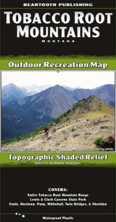
Tobacco Root Mountains, MT, Outdoor Recreation Map
Beartooth PublishingThe Tobacco Root Mountains, between Bozeman and Butte, is one of the most scenic ranges in Montana. With this topographic map from Beartooth Publishing, you'll find trails to hike, ride and more.
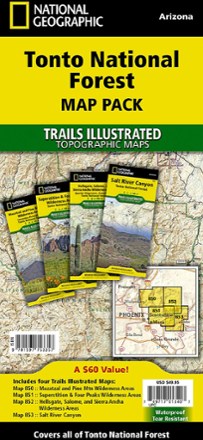
Tonto National Forest Topographic Map Pack
National GeographicThe Trails Illustrated Tonto National Forest Topographic Map Pack offers detailed coverage of almost 3 million acres of diverse terrain just outside of Phoenix, AZ.
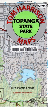
Topanga State Park Map
Tom Harrison CartographyDiscover a scenic jewel of Southern California with the Tom Harrison Cartography Topanga State Park Map, a full-color shaded-relief topographic map on high-quality tear- and water-resistant paper.
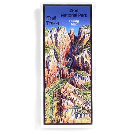
Trail Tracks: Zion National Park Hiking Map
Four-color aerial perspective map for day hikers and backpackers alike gives trail ratings according to distance and elevation gain