Books And Maps
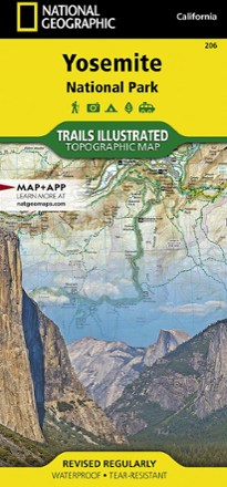
Yosemite National Park Trail Map
National GeographicThis beautifully rendered Trails Illustrated map offers colorful, comprehensive coverage of California's Yosemite National Park.

Yosemite National Park: Your Complete Hiking Guide
Wilderness PressIt would take years to visit every corner of Yosemite—time to get started. Explore a hiker's paradise with this essential Wilderness Press guide to Yosemite National Park.
Camping and Hiking GuidebooksNorth America Hiking Guidebooks
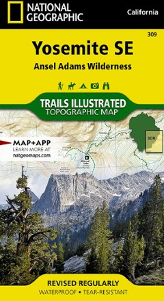
Yosemite SE: Ansel Adams Wilderness Topographic Map
National GeographicThe Trails Illustrated Yosemite SE: Ansel Adams Wilderness topographic map delivers unmatched detail and valuable information to assist you in your exploration of this breathtaking region.

Yosemite Sport Climbs and Top Ropes
Yosemite Sport Climbs and Top Ropes includes over 200 of the best top ropes and bolted sport climbs in Yosemite Valley.
North America Climbing GuidebooksCalifornia Climbing Guidebooks - DEPRECATED

Yosemite Valley Bouldering
From Camp 4 holdless desperates to classic moderates in serene settings, you'll fined the problems to suit your mood and motivation with this book.
North America Climbing GuidebooksCalifornia Climbing Guidebooks - DEPRECATED

Yosemite Valley Map
Venture into the heart of Yosemite National Park with Tom Harrison Cartography Yosemite Valley map and explore the many trails across the valley floor that warrant some spectacular views.

You Can Be a Nature Detective
Mountain PressWhat made those tracks in the snow? Why do leaves change color in autumn? You Can Be a Nature Detective helps your child delve into the intriguing mysteries of the natural world.

Zinn & the Art of Mountain Bike Maintenance - 6th Edition
Velo PressFrom fixing a flat tire to advanced overhauls of drivetrains and brakes, Zinn & the Art of Mountain Bike Maintenance from Velo Press makes every repair and maintenance job easy and accessible.

Zinn & the Art of Road Bike Maintenance - 5th Edition
Velo PressFrom fixing a flat tire to advanced overhauls of drivetrains and brakes, Zinn & the Art of Road Bike Maintenance from Velo Press makes every repair and maintenance job easy and accessible.

Zion & Bryce
MOONExplore the colorful hoodoos, canyons and iconic arches of all 5 of Utah's national parks with MOON Zion & Bryce as your adventure-packed guide.
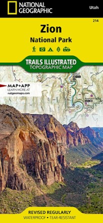
Zion National Park Map
National GeographicThis National Geographic Trails Illustrated folded map offers comprehensive coverage of Zion National Park in Utah.
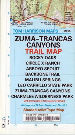
Zuma-Trancas Canyon Trail Map
Tom Harrison CartographyExplore the high mountain vistas and rugged canyons above Malibu with the Tom Harrison Cartography Zuma–Trancas Canyons trail map, filled with color-coded trails and shade-contoured elevation gains.