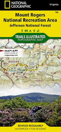
Mount Rogers National Recreation Area Map
National GeographicThis Trails Illustrated folded map offers comprehensive coverage of the Mount Rogers National Recreation Area in Virginia.
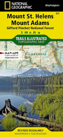
Mount St. Helens and Mount Adams Topographic Map
National GeographicThis colorful Trails Illustrated Mount St. Helens and Mount Adams trail map from National Geographic offers detailed coverage of 2 of Washington's volcanoes and the Gifford Pinchot National Forest.
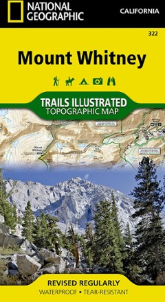
Mount Whitney Map
National GeographicThe National Geographic Trails Illustrated Mount Whitney map offers detailed coverage of the grandeur and terrain surrounding the highest peak in the contiguous United States.

Nantahala and Cullasaja Gorges Trail Map
National GeographicThis National Geographic Trails Illustrated folded map offers comprehensive coverage of the Nantahala and Cullasaja Gorges area of North Carolina.
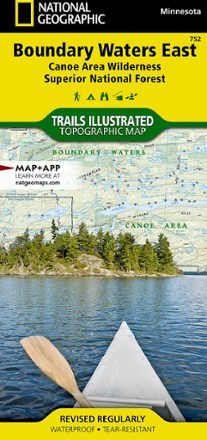
National Geographic 752 Boundary Waters - East and Superior National Forest Trail Map
National GeographicThis Trails Illustrated 753 Boundary Waters - East and Superior National Forest trail map from National Geographic offers detailed coverage of the eastern Boundary Waters Canoe Area Wilderness.
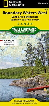
National Geographic 753 Boundary Waters - West and Superior National Forest Trail Map
National GeographicThis Trails Illustrated 753 Boundary Waters - West and Superior National Forest trail map from National Geographic offers detailed coverage of the western Boundary Waters Canoe Area Wilderness.
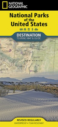
National Parks of the United States Touring Map & Guide
National GeographicDiscover nearly 400 parks across the country with this travel-ready National Geographic National Parks of the United States destination map and guide printed on waterproof, tear-resistant paper.
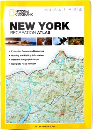
New York Recreation Atlas
National GeographicThe National Geographic New York Recreation Atlas offers detailed topographic maps, complete road networks and extensive recreation resources for the Empire State.
North America MapsNew England and Mid Atlantic Maps - DEPRECATED
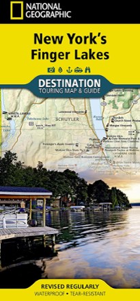
New York's Finger Lakes Destination Touring Map & Guide
National GeographicNew York's Finger Lakes Destination touring map & guide by National Geographic strikes the perfect balance between map and guidebook. It is an ideal resource for touring this unique region.
North America MapsNew England and Mid Atlantic Maps - DEPRECATED
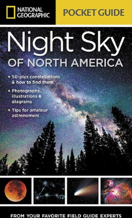
Night Sky of North America
National GeographicWe all gaze at the night sky in wonder, so why not learn more about it? The Night Sky of North America from National Geographic is a go-to reference for everything filling the dark canvas above us.
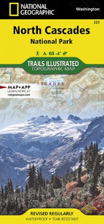
North Cascades National Park Trail Map
National GeographicThis Trails Illustrated folded map offers comprehensive coverage of North Cascades National Park in Washington.
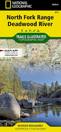
North Fork Range Deadwood River Topographic Map
National GeographicThe expertly researched and highly detailed National Geographic North Fork Range Deadwood River topographic map will aid your Idaho exploration whether you're out on foot, bike, ATV or boat.
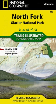
North Fork: Glacier National Park Topographic Map
National GeographicThe Trails Illustrated North Fork: Glacier National Park topographic map will benefit even the most experienced outdoors enthusiast exploring this pristine landscape blessed with very few amenities.
Northville/Raquette Lake Trail Map
National GeographicThis highly detailed Trails Illustrated folded map offers clear, concise coverage of Northville and Raquette Lake in New York.
North America MapsNew England and Mid Atlantic Maps - DEPRECATED