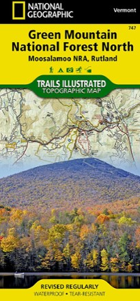
Green Mountain National Forest North Topographic Map
National GeographicThe Trails Illustrated Green Mountain National Forest North topographic map combines unmatched detail with helpful info to offer a valuable tool for making the most of your visit to this region.
North America MapsNew England and Mid Atlantic Maps - DEPRECATED
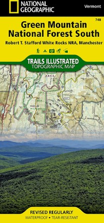
Green Mountain National Forest South Topographic Map
National GeographicThe Trails Illustrated Green Mountain National Forest South topographic map is the perfect travel companion for outdoor enthusiasts seeking to enjoy the 4-season recreation possibilities of the area.
North America MapsNew England and Mid Atlantic Maps - DEPRECATED

Green Mountain National Forest Topographic Map Pack
National GeographicThe Trails Illustrated Green Mountain National Forest topographic map pack is the perfect companion to anyone planning a trip to the stunning Green Mountains of Vermont.
North America MapsNew England and Mid Atlantic Maps - DEPRECATED

Green Mountain Reservoir/Ute Pass Trail Map
National GeographicThis detailed Trails Illustrated folded map offers comprehensive coverage of the Green Mountain Reservoir and Ute Pass areas in Colorado.
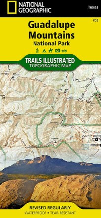
Guadalupe Mountains National Park Trail Map
National GeographicThis Trails Illustrated folded map offers comprehensive coverage of Guadalupe Mountains National Park in Texas.

Guide to Scenic Highways and Byways - 5th Edition
National GeographicThe fifth edition of the National Geographic Guide to Scenic Highways and Byways provides more than 300 possibilities for spectacular getaways in your local area and throughout the 50 states.
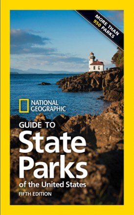
Guide to State Parks of the United States - 5th Edition
National GeographicGet inspired to explore your corner of the U.S. with the National Geographic Guide to State Parks of the United States. The guide has detailed maps and vivid images of the country's top state parks.
Camping and Hiking GuidebooksNorth America Hiking Guidebooks
Guide to the National Parks - 9th Edition
National GeographicDiscover America—from Alaska to the Virgin Islands—through its 62 national parks in National Geographic Guide to the National Parks, a fully revised and comprehensive guidebook now in its 9th edition.

Gunnison / Pitkin Topographic Map
National GeographicThe Trails Illustrated Gunnison / Pitkin topographic map offers unparalleled detail for outdoor enthusiasts exploring this scenic area on the western slope of the Colorado Rockies.
Hahns Peak/Steamboat Lake Trail Map
National GeographicThis colorful Trails Illustrated folded map offers detailed coverage of Colorado's Hahns Peak and Steamboat Lake.
Harriman, Bear Mountain and Sterling Forest State Parks Trail Map
National GeographicThe Trails Illustrated Harriman, Bear Mountain and Sterling Forest trail map from National Geographic offers detailed coverage of these beautiful state parks in New York.
Hawaii Adventure Travel Map
National GeographicThe National Geographic Hawai'i Adventure Travel map is designed to meet the unique needs of adventure travelers with its durability and detailed, accurate information.
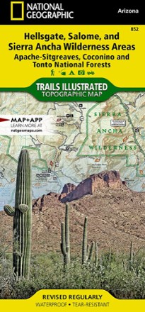
Hellsgate, Salome, & Sierra Ancha Wilderness Areas Topographic Map
National GeographicThe Trails Illustrated Hellsgate, Salome, & Sierra Ancha Wilderness Areas topographic map provides unmatched detail of the northeast region of Tonto National Forest.
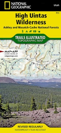
High Uintas Wilderness Topographic Map
National GeographicExplore the alpine vistas, glacier-formed lakes and Utah's highest peaks with the Trails Illustrated High Uintas Wilderness topographic map.