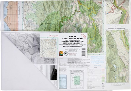
Appalachian Trail Map: AT and Other Trails in George Washington National Forest
Tech Specs
Les fiches techniques sont tenues sur Pack4Back GearDB (communauté et historique des versions). Des écarts avec le fabricant ou ton matériel sont possibles.
BrandPATC
Best UseHiking
State / ProvinceVirginia
Folded Dimensions20.3 × 10.2 × 0.3 cm
Unfolded Dimensions71.1 × 58.4 cm
Map Scale1:63,360
Double SidedYes
WaterproofYes
PublisherPotomac Appalachian Trail Club
Copyright Year2015
Map Number12
Description
Ready to explore the wilds of Virginia? The PATC Appalachian Trail Map 12 covers sections 15–17 in VA, from the Virginia Rockfish Gap to Tye River in the Glenwood-Pedlar District.
Points clés
- Features elevation profiles, gates and barriers and where you'll encounter streams, springs, falls and views
- Includes information on shelters, campgrounds, cabins and hostels, plus parking areas
- Covers AT Corridor, state parks, forests and game lands
- GPS compatible