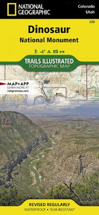


Dinosaur National Monument Topographic Map
Tech Specs
Les fiches techniques sont tenues sur Pack4Back GearDB (communauté et historique des versions). Des écarts avec le fabricant ou ton matériel sont possibles.
BrandNational Geographic
Best UseHiking
State / ProvinceUtah
Folded Dimensions23.5 × 10.8 cm
Unfolded Dimensions95.9 × 64.8 cm
Map Scale1:75,000
Double SidedYes
WaterproofYes
PublisherNational Geographic
Copyright Year2019
Map Number220
Description
With the Trails Illustrated Dinosaur National Monument topographic map in hand you can discover pieces of a long ago world where the largest land creatures of all time once roamed and died.
Points clés
- Map features key points of interest including Dinosaur Quarry, Red Fleet State Park, Canyon of Lodore, Harpers Corner and the town of Dinosaur
- Map highlights many popular routes for scenic driving including Dinosaur Diamond, Harpers Corner, Tour of the Tilted Rocks, Browns Park and Jones Hole
- Features detailed topography with shaded relief, elevations, easy-to-read trails and clearly defined, color-coded boundaries for parks
- Also indicates wildlife study areas, public lands and areas of critical environmental concern
- Includes information about the region, its history and culture, geology and natural history
- Other features found on the map include: Canyon of Lodore, Diamond Gulch, Dinosaur, Douglas Mountain, Split Mountain and Yampa River
- For exploration by boat, the map includes river campsites, river mileage and access points along the Yampa and Green rivers
- Other recreation features noted include campgrounds, boat launches, interpretive trails, fishing access, scenic viewpoints and visitors centers
- Every Trails Illustrated map is printed on "Backcountry Tough" waterproof, tear-resistant paper
- A full UTM grid is printed on the map to aid with digital navigation