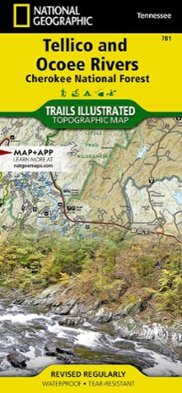

Tellico and Ocoee Rivers Topographic Map
Tech Specs
Les fiches techniques sont tenues sur Pack4Back GearDB (communauté et historique des versions). Des écarts avec le fabricant ou ton matériel sont possibles.
Description
The Trails Illustrated Tellico and Ocoee Rivers topographic map is designed to meet the needs of outdoor enthusiasts seeking to explore the southern section of Cherokee National Forest.
Points clés
- Expertly researched and created in partnership with the U.S. Forest Service and others
- Features activity guides for the different areas within Cherokee, Nantahala and Chattahoochee national forests
- Includes Cohutta, Joyce Kilmer Slickrock , Citico Creek and Bald River Gorge wilderness areas, Nantahala and Chattahoochee national forests and Hiwassee River
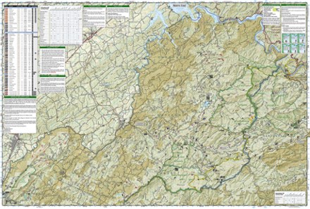
- Easy-to-read, yet highly detailed map shows comprehensive trail and road networks, along with designated trails for hiking, horseback riding, biking and more
- Clearly marked navigational aids with UTM coordinate grids, scale bar and full legend, essential for safely navigating the backcountry with GPS or compass
- Features key points of interest such as scenic views, campgrounds, trailheads, boat launches and picnic sites
- Color-coded boundaries for public lands including national parks, national forests, national monuments, ranger districts, wilderness areas, state parks and wildlife refuges
- 1:63,360 scale
- Printed in the USA on durable, lightweight, waterproof and tear-resistant material designed to withstand all weather conditions
- Folded dimensions: 4.25 x 9.25 in.; unfolded dimensions: 25.5 x 37.75 inches
- National Geographic Maps; copyright 2006