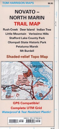
Novato-North Marin Trail Map
Tech Specs
Les fiches techniques sont tenues sur Pack4Back GearDB (communauté et historique des versions). Des écarts avec le fabricant ou ton matériel sont possibles.
Best UseHiking
Folded Dimensions22.9 × 10.2 × 0.3 cm
Unfolded Dimensions61.0 × 45.7 cm
Map Scale1:24,000
Double SidedYes
WaterproofYes
PublisherTom Harrison Cartography
Copyright Year2007
State / ProvinceCalifornia
Description
Discover hiking, running and mountain biking trails in the Tom Harrison Cartography Novato–North Marin trail map, and explore all this rolling, oak-studded region has to offer.
Features
- Map covers Rush Creek, Deer Island, Indian Tree, Little Mountain, Verissimo Hills, Stafford Lake County Park, Olompali State Historic Park, Petaluma Marsh and Mount Burdell
- Full-color shaded-relief topographic map on high-quality tear- and water-resistant paper; folds up easily and is easy to read in all conditions
- Tom Harrison maps include color-coded symbols and trails, mileage between trail junctions, UTM grids, contour lines, vegetation and elevations at trail junctions